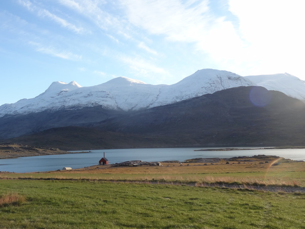
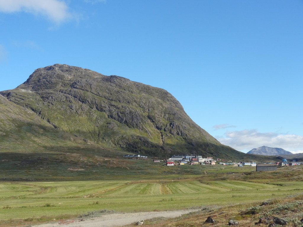
ARRIVING IN IGALIKO AND SETTING UP BASE CAMP
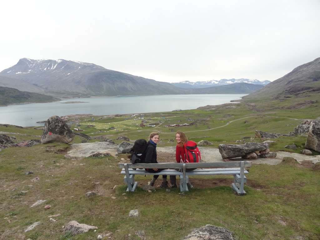
We got picked up at Itilleq by a Landrover to transport our tents, food, tables, chairs and gun over to Igaliko. The gun we are carrying is for polar bear protection, however it is rare to get a polar bear this far south, particularly in the summer months. We are currently 61°N which is the same latitude as the Shetland Islands in Scotland. Igaliko is a small village with 65 inhabitants although this goes down to 30 during the winter months.
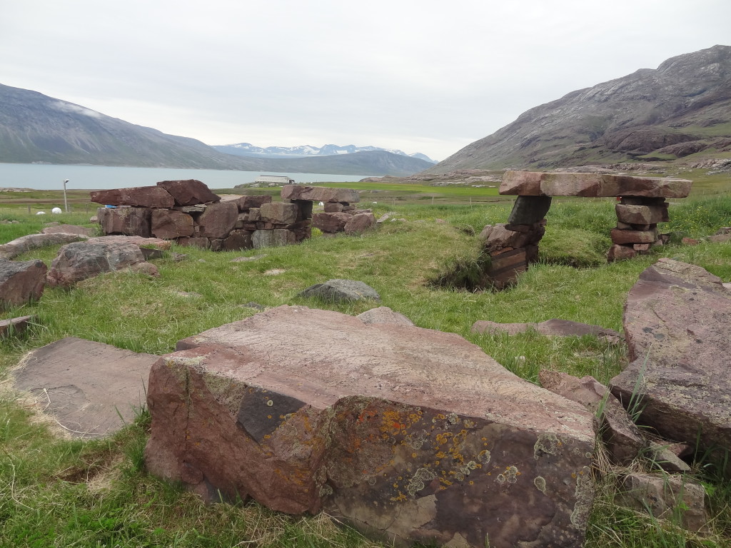
In the middle of the village is a ruined Viking cathedral made of Igaliko sandstone. The Vikings disappeared from this area around 1500 AD and since this time the sandstone blocks have been used to build some of the houses in the village. The region is known as Gardar and during the time of Erik the red it was home to the bishop of Gardar and was the location of the norse parliament, taken from their Icelandic traditions. It was therefore the powerful place of southern Greenland at this time.
So it was here that we set up our base camp, ready to study the fantastic geology awaiting us.
JOURNEY TO ITILLEQ AND THE NORSEMEN
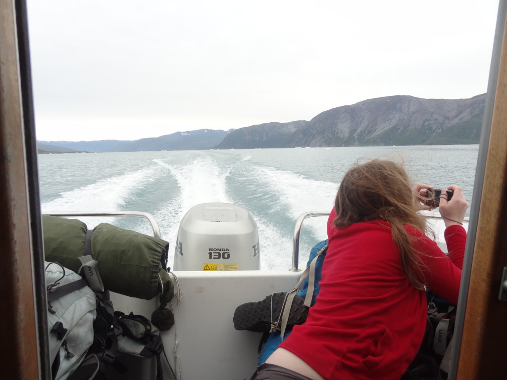
We had our own personal boat to take us down the fjord to Itilleq. Across from Narsarsuaq we could see a small settlement which is actually the original settlement of Erik the red, a Norseman exiled from Iceland for 3 years who set off to the west to discover new land. Erik and his friends settled two areas of south Greenland, this being the eastern settlement, because the lush valleys were so fertile and perfect for the sheep farmers way of life. From the boat you could see the lava flows making up the hills around Qassiasuk, these basalts flows contain a mineral called apatite which is a calcium phosphate and therefore plays a large role in the fertility of the area as it acts as a natural fertiliser.
There are no mosquitoes around Igaliko due to the sheep. Their urine in the small lakes deters the mosquitoes which need water for their larvae. This was delightful for us after the unpleasant experience of mosquitoes around Narsarsuaq, not to mention east Greenland.
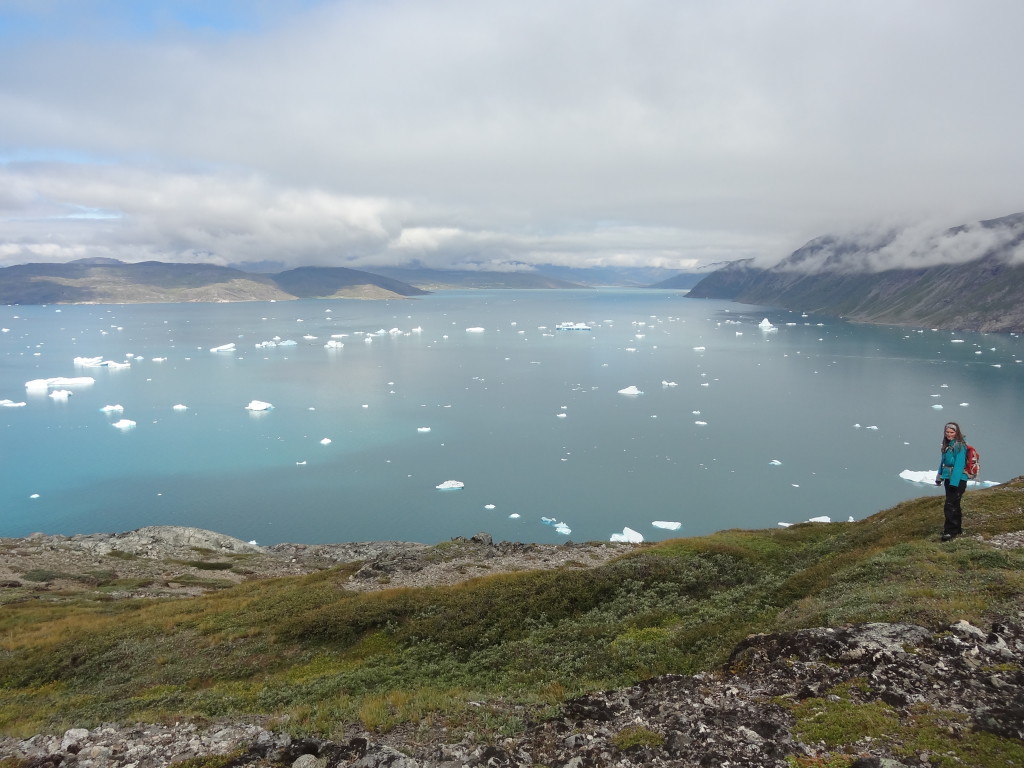
The journey to Itilleq also took us past a ring of icebergs surrounding the entrance to Qorroq fjord. These icebergs are stranded on a terminal moraine that was deposited in the Narsarsuaq stage glaciation. This glacier had also retreated up the fjord but carves its icebergs into the fjord which, when reaching the mouth, remain stranded on the submerged moraine. It makes a fantastic sight and will no doubt look better when we view it from above.
GEOLOGICAL BACKGROUND
The Gardar province of South Greenland, named for the Norse connections, is the type locality for alkaline igneous intrusions. It is known for its layered intrusions and unusual minerals so there is a lot for a geologist to do here! During the next few weeks we’ll be looking at the geology around Igaliko in more detail to find out how things have unfold over time.
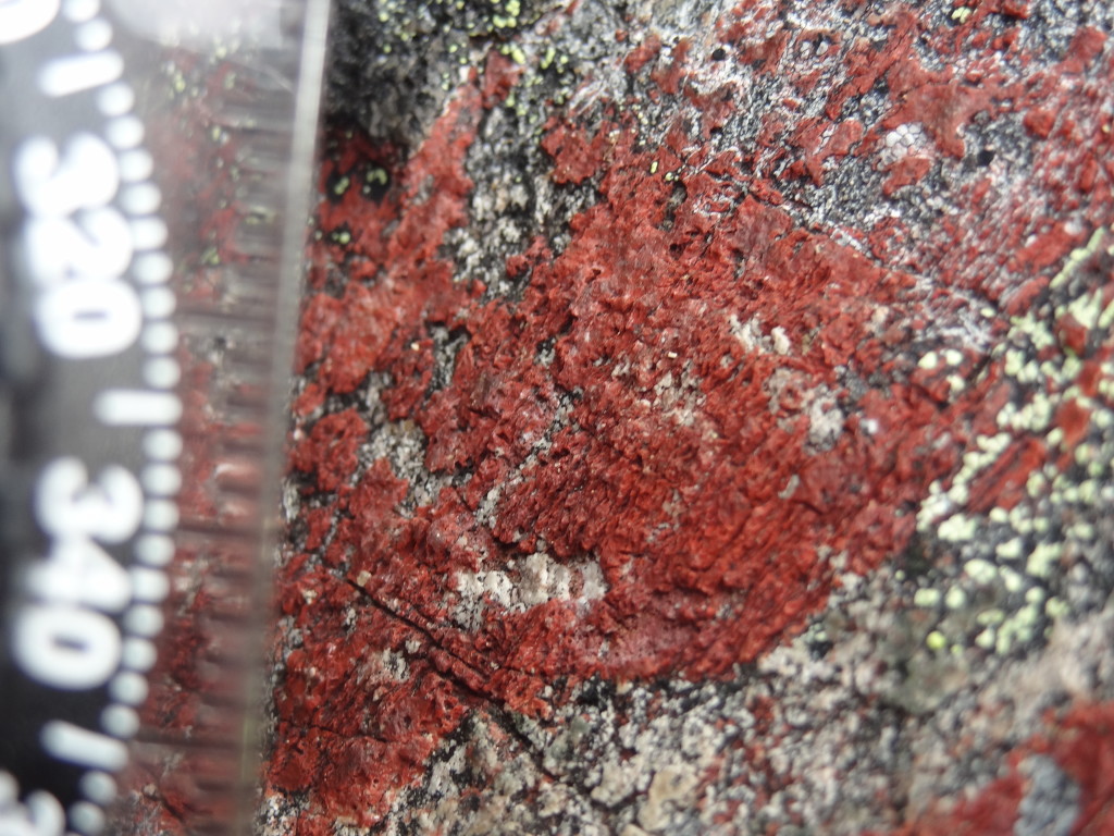
Alkaline mineral Eudialyte
We began with a recce of both mapping areas. This is important to figure out the variety of rock types you’re going to encounter and start to formulate a plan as to how you’re going to approach a large challenge such as this. We have 6 weeks to cover 15 km² which may sound like a lot but the terrain is very varied and some areas may be more complicated than others. We also have the weather to take into account.
THE TERRAIN
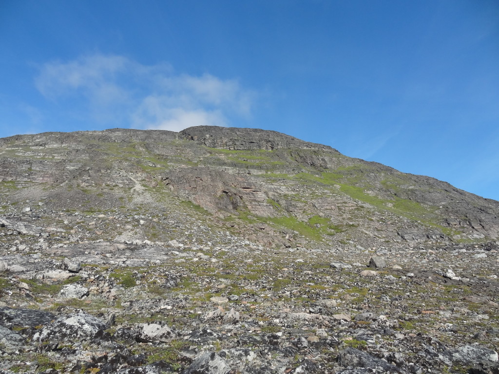
The high point of our area is 550m and the terrain is steep with a lot of exposure, which is not too bad in the dry. The bane of our mapping is the small foot high willow trees which are extremely difficult to walk over. It’s amazing how much food you need when you’re walking 20km per day and thinking and working so it’s important to keep your energy levels up and not to get hurt. We quickly found out that we’d overestimated the area we would be able to cover each day and had to revise our plans, this is a good thing to do when doing any project as if make you consider what is a realistic aim for project. This can only really be assessed once in the field.
Written by Anna Bidgood
GREENLAND MINERALS AND ENERGY
We spent a morning over at the offices of Greenland Minerals and Energy, an Australian mining company. They have been operating in the area for the past 8 years, prospecting one of the largest reserves of rare earths elements and uranium in the world. The company’s mining program will extract and refine from within the Illimausaq intrusion, a large alkaline intrusion similar to the one we are mapping. Due to large amounts of erosion, which has exposed the intrusion, the ore rich layer lies only up to 300m below the ground and you can find it outcropping at the surface. This makes the valuable resource easily accessible and keeps down the extraction cost of the mining operation.
In order to assess the worth and extent of the deposit, the company has undertaken a meticulous exploration program at the intrusion. This involved drilling the area for rock core samples, geophysical surveys and monitoring natural radioactivity levels. The mountainous terrain was tackled with helicopters used to transport the heavy drill machinery from drill spot to drill spot.
Looking around their warehouse we were shown some of the drill cores they’d brought back from the mountains. During the examination of the cores minerals are identified, one mineral, sodalite, glows orange when you shine a UV light on it so proves easy to identify.
Mining is often a controversial topic, where a balance between economic needs and protecting the natural environment and local interests can conflict. This is especially relevant to this project where they would be in operation 10km from the settlement. However with a newly elected Greenlandic government that is pro-mining, it is looking likely that GME will soon be granted the permissions to commence opencast mining. Once this happens GME will become the second largest employer in Greenland. The project will open up 500 new jobs in the area, 250 of which will be filled by locals. The project will include the construction of a new port and a refinery as well as the mine itself. This will be a much needed boost for Greenland’s struggling economy and provide jobs in a country where there are high levels of unemployment. It may even relax Greenland’s economic dependence on Denmark.
These guys have floated this company almost single-handedly, working incredibly hard and raising a huge amount of funds in order to get it off the ground. You can tell that they are proud of the work they have done, as well they should be. They even gave us free hats. It was very kind of them to show us around and hear about their potential big plans for the future. Their 16 hour days and enthusiasm have motivated us to continue with our mapping projects as best we can for the next 3 weeks.
Thanks guys!
Written by Eleni Wood
![]() This work is licensed under a Creative Commons Attribution-NonCommercial-ShareAlike 4.0 International License.
This work is licensed under a Creative Commons Attribution-NonCommercial-ShareAlike 4.0 International License.

