Jaroslaw Majka is a researcher and electron microprobe lab manager at Department of Earth Sciences at the University of Uppsala. You can read more about his research here.
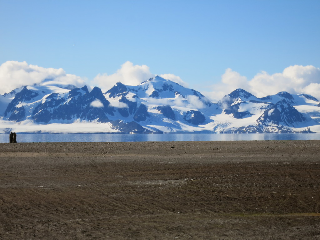
The Svalbard Archipelago is located in the northwestern corner of the Barents Shelf, at the latitudes similar to northernmost Greenland. This Arctic archipelago shows a geological record since Archean until now, with several well pronounced orogenic phases including Late Pelaeoproterozoic (equivalent of Svecofennian), Late Mesoproterozoic–Early Neoproterozoic (Grenvillian), Late Neoproterozoic (Torellian-Timanian), Ordovician-Silurian (Caledonian), Late Devonian (Ellesmerian), Middle Carboniferous and Early Palaeogene (Eurekan) events. Tectonostratigraphically, Svalbard is divisible into three megaunits including the Caledonian basement, Old Red strata and younger sedimentary successions. For me, as a hard-rock geologist, the lowermost and oldest unit in the tectonostratigraphy constitutes the most interesting target, so further part of this post is devoted just to the Caledonian basement.
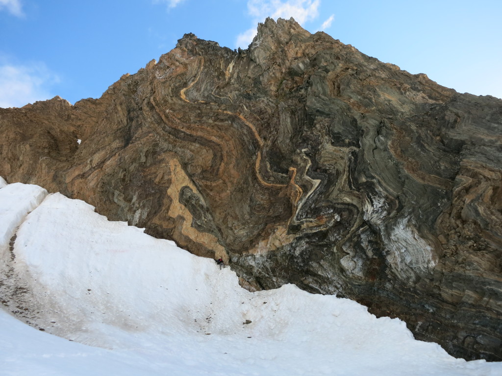
Strongly folded and faulted rocks of the middle-grade metamorphic unit on Prins Karls Forland. Note Maciek Manecki (175cm tall) at the bottom of the outcrop
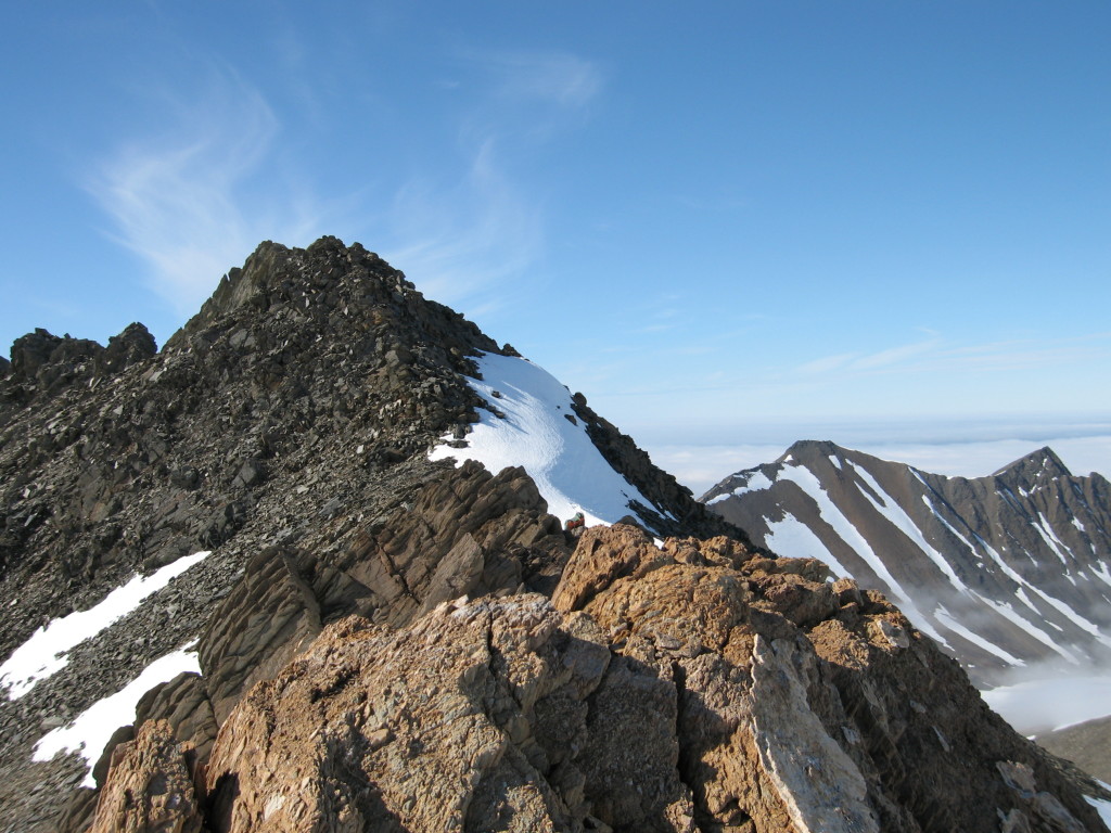
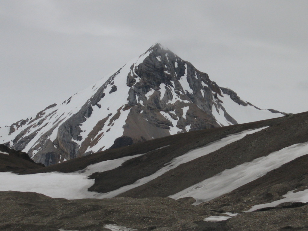
The Caledonian basement crops out along the western and northern shores of the archipelago, on Spitsbergen, Prins Karls Forlnad, Nordaustlandet, Kvitøya and many smaller islands. Southwestern coast of Spistbergen and the Prins Karls Forland island are especially scenic and spectacular due to occurrence of relatively high mountains. This is also relatively easily accessible part of the archipelago, but still most of the areas require special permissions from the local governor office, and even more importantly lots of experience from the people, who are planning their research there. However, if one wants to look at pristine Arctic nature and outcrops of Mesoproterozoic, Neoproterozoic and early Palaeozoic rock units, there is no better place to go than the southwestern coast of Svalbard.
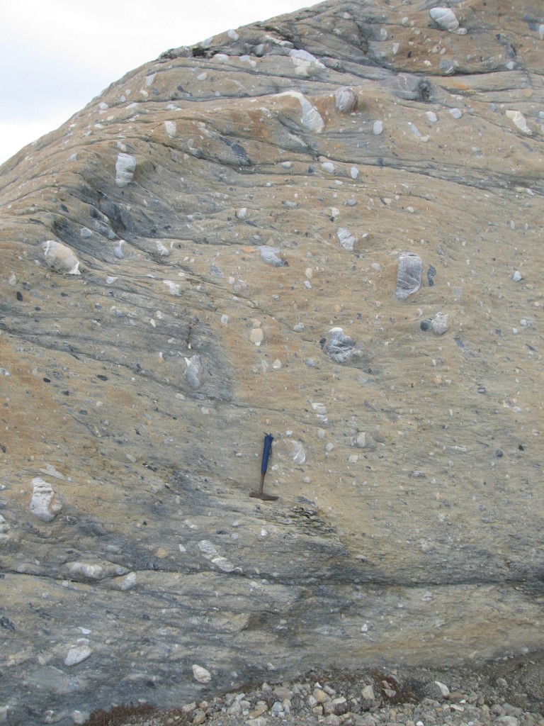
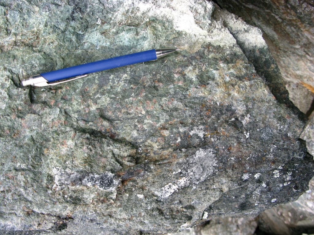
The Caledonian basement of southwestern Svalbard is divisible into five major units: (1) the middle-grade metamorphic unit, (2) the monotonous low-grade sedimentary succession, (3) the diamictite unit, (4) the high-pressure unit, and (5) Early Palaeozoic sediments. The middle-grade metamorphic unit is composed of Early toLate Mesoproterozoic sediments and igneous rocks and early Neoproterozoic sediments metamorphosed under amphibolite facies conditions during the Torellian (c. 640Ma) event. This unit crops out on Sørkapp, Wedel Jarlsbreg Land, Prins Karls Forland and Brøggerhalvøya, but many of the occurrences have not been dated and studied in detail so far. The low-grade sedimentary succession is the most abundant unit and comprises greenschist facies metasediments of Early to Late Neoproterozoic age. This unit is overlain by a thick diamictite unit of possible glacio-marine origin. Still not much is known about the exact age of the diamictites sedimentation. Scattered occurrences of the high-pressure unit are known from Oscar II Land and Nordenskiöld Land. It comprises blueschists, eclogites, glaucophane-bearing garnet-phengite shists and also rare carpholite-bearing schists. This unit represents a relic of an early Caledonian subduction within marginal basins of the Iapetus Ocean. Early Palaeozoic sediments form the youngest unit within the southwest Svalbard stratigraphy. They are deformed, but not or vey slightly metamorphosed.
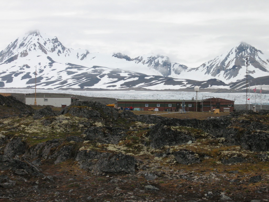
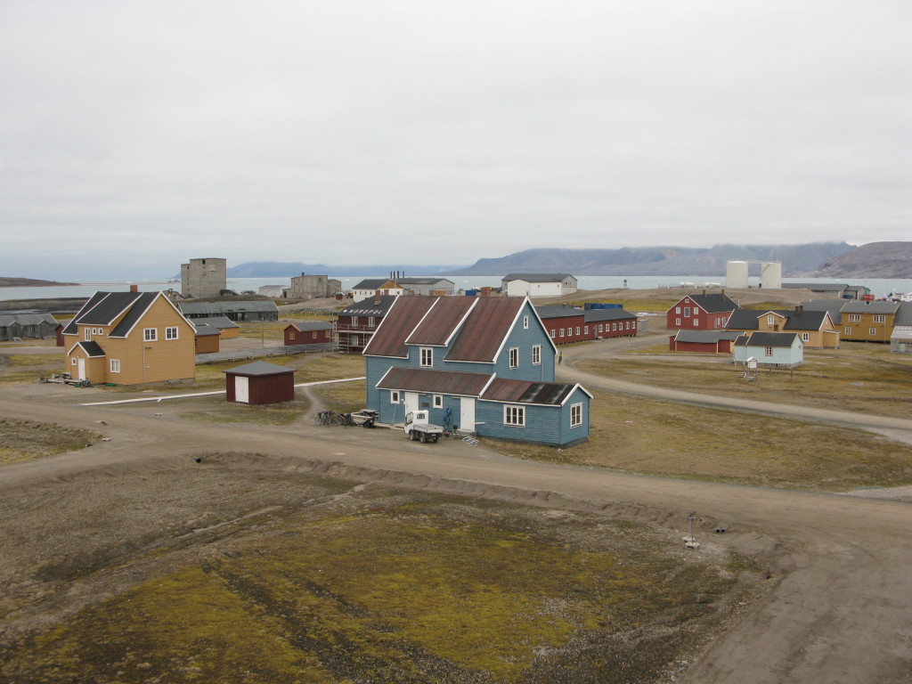
To get there, one needs to fly to the local capital called Longyearbyen. The Longyerabyen airport has a direct connection by jet to Oslo or Tromsø in northern Norway. From Longyearbyen, one has to take a boat or helicopter to move the field party to the fieldwork area. Fieldwork is usually carried out on foot, using rubber boats and helicopter. Depending on the place, one needs to build a tent camp or can use one of the old trappers’ cottages (this requires special agreement with the Governor of Svalbard). Additionally, there are several summer or permanent research stations scattered along the coast, including for example Norwegian Ny Ålesund research base (former mining town) located in Kongsfjorden or Polish Polar Station located on the northern shore of beautiful Hornsund fjord in southern Spistbergen. Such places can also be used as base camps, but it of course requires special agreements with stations’ owners. The fieldwork is really rewarding, but there are the down sides as well. One of them is the fact that one works in a place, which is a kingdom of huge, fury, whitish mammals that may easily have a geologist for a lunch. So do not forget your gun in the field. It may not help you too much, but you will feel safer!
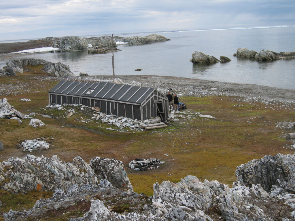
Hyttevika – old trappers’ cottage in Wedel Jarslberg Land. This place is widely used by geologists from the AGH – University of Science and Technology, Kraków, Poland
![]() This work is licensed under a Creative Commons Attribution-NonCommercial-ShareAlike 4.0 International License.
This work is licensed under a Creative Commons Attribution-NonCommercial-ShareAlike 4.0 International License.

