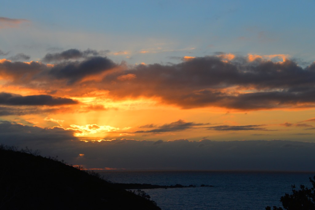
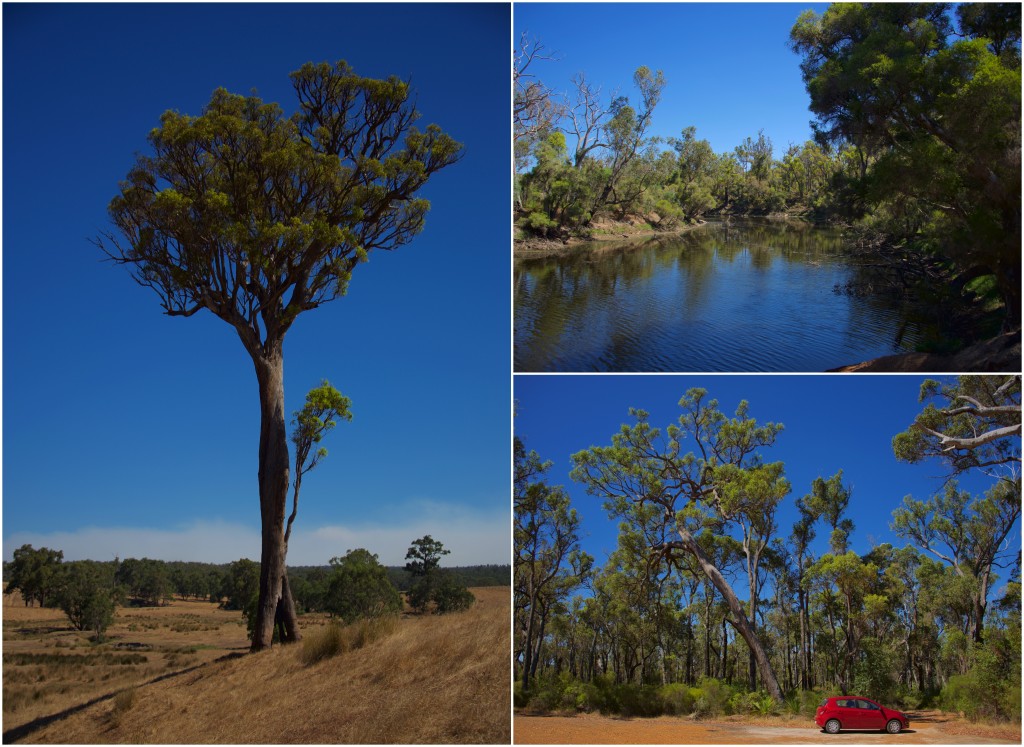
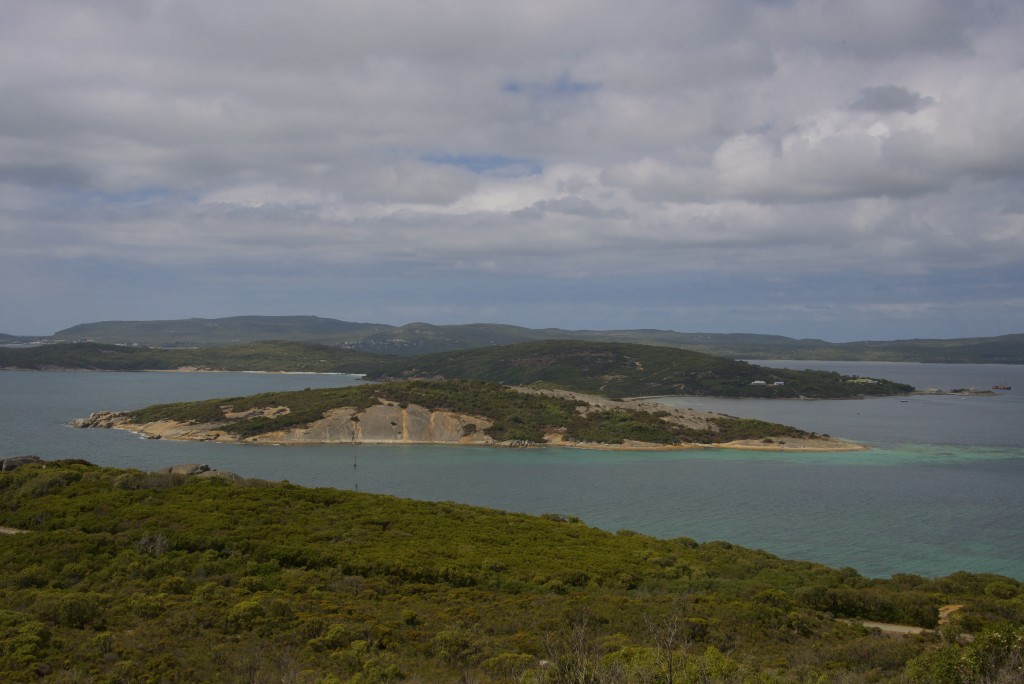
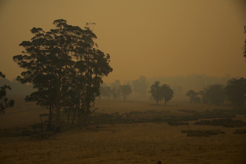
Having recently accepted a research fellowship at Curtin University, my family and are in the process of immigrating to sunny Western Australia. In preparation for this transition, I traveled to Perth to get the lay of the land. My perusing took me to the southwest corner of Australia near the town of Albany. This corner of Australia is densely forest with a beautiful array of eucalypt varieties and has no shortage of kangaroos.
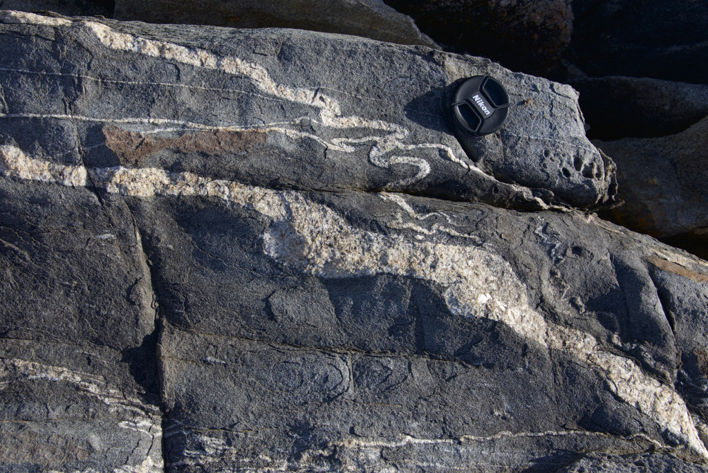
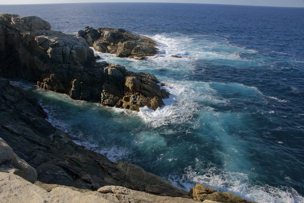
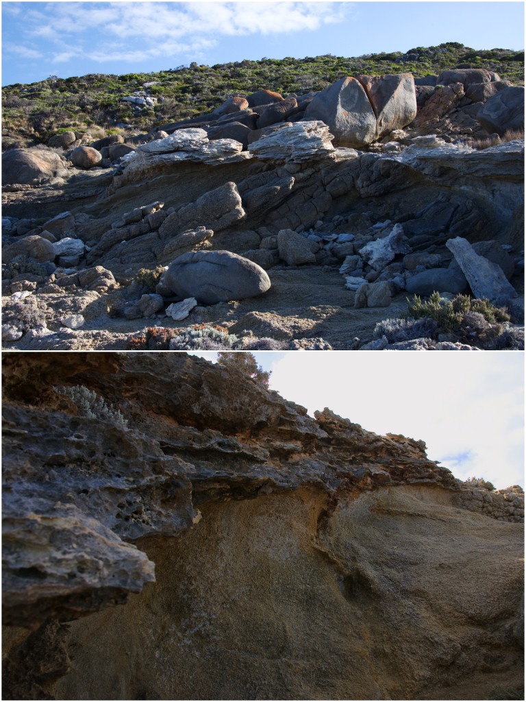
As my interest was primarily geologic in nature, I went straight to the coast where the outcrop is most clear. The coastline stretching from Albany to Fraser nearly delineates a belt of metamorphic and igneous rocks that belong to the Albany-Fraser Orogen. These high-grade gneisses and granitoids rim the southern and southeastern rim of the Archean Yilgarn Craton and formed between 1.3 and 1.1 billion years ago. An extension of this belt is also found in eastern Antarctica. This orogen records a portion of the tectonic upheaval associated with the assembly of the supercontinent of Rodinia. Rocks of this age associated with continental collision are found on all seven continents. The near-synchroneity of metamorphism and plutonism associated with the assembly of Rodinia has puzzled geologists for the past 40 years.
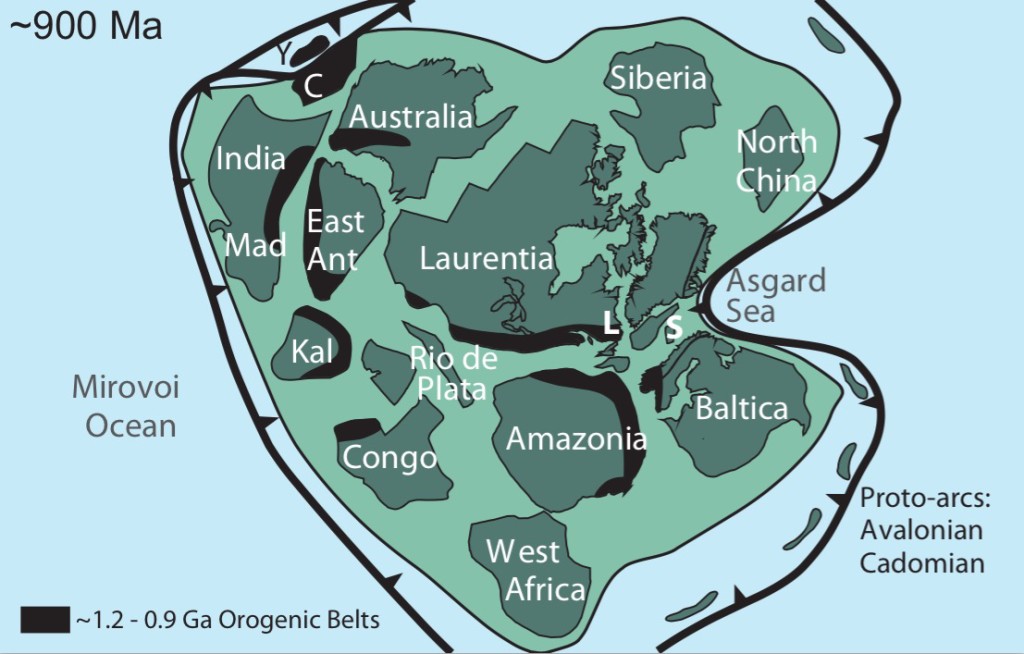
Schematic global paleogeography of the supercontinent of Rodinia at ~900 million years ago (from Spencer et al., 2015)
The idea of supercontinents has been around since the time that Alfred Wegener first cut the continents from a map and put the proverbial puzzle together. The initial evidences for a supercontinent (and more generally continental drift) included not only the geographic “fit” of continents (idealized by South America and Africa) but also similarities of ancient climate, floral and faunal distributions, and similar rock provinces. These evidences stacked up to support the idea of Pangaea, the most recent supercontinent.
Taking us back beyond Pangea required a new tool in our tool belt. Paleomagnetism came on the scene two decades after Wegener’s death by the invention of the astatic magnetometer which was used in identifying the magnetic “stripes” of the ocean floor. The next big breakthrough in regards to paleomagnetism and paleogeography was the development of ideas surrounding thermoremnant magnetism. This states that when an igneous rock cools beneath its Curie temperature, the position of that rock in relation to the magnetic field of the Earth will superpose itself on the iron-oxide bearing minerals (such as magnetite) in said igneous rock. The orientation of these magnetic minerals can remain undisturbed for hundreds of millions (even billions) of years. It then comes to the paleomagnetists to measure this thermoremnant magnetism in rocks to essentially extract the latitude at which these rocks cooled. Using large paleomagnetic and geochronologic databases of rocks from around the world, we can track the apparent wander of the continents and reconstruct its paleogeography.
My interest in supercontinents is currently focused on the orogenic events that occur when these continents assemble. During my PhD, I studied the Mesoproterozoic orogens found in North America, Scotland, Scandinavia, South Africa, and Namibia. As the Albany-Fraser host rocks of a similar ilk, I couldn’t resist a visit. The southern coast of Western Australia near the town of Albany hosts a beautiful set of exposures of high-grade gneiss and granites. As this trip was purely geotourism, I have no new insight to offer (yet).
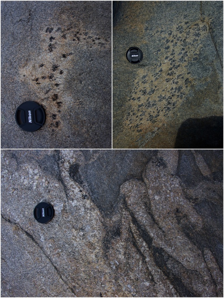
Top: examples of splotchy biotite enclaves in migmatitic gneiss; bottom: deformed granitic intrusions
As expected the Albany-Fraser also has other things related to … well Australia.
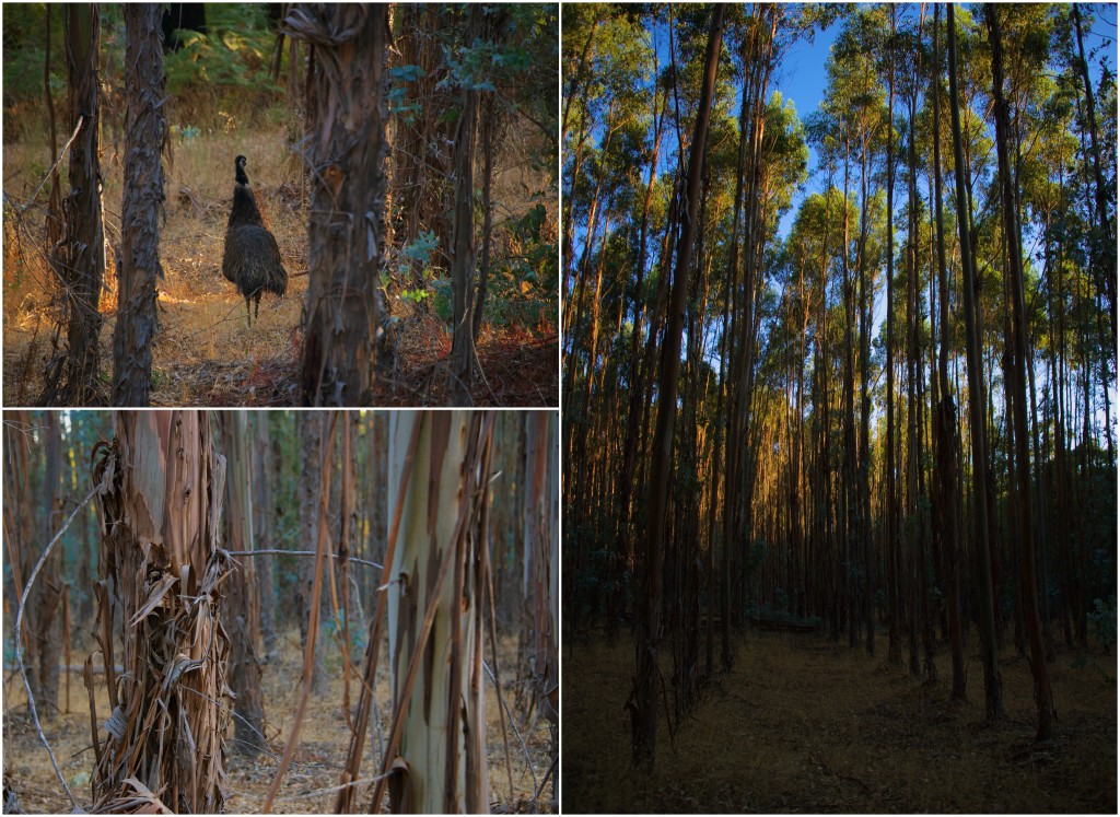
Clockwise from top left: Emu in eucalyptus tree farm; straight rows of eucalyptus trees; eucalyptus shedding bark
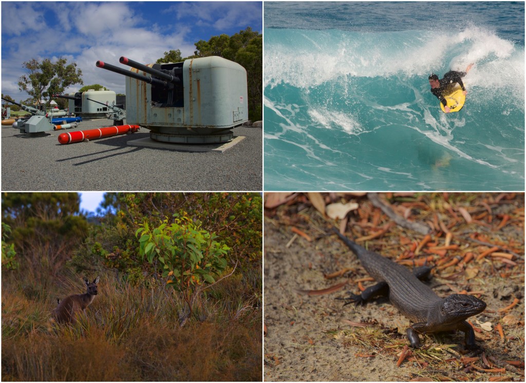
Clockwise from top left: Battery guns at the National ANZAC Centre; a local recreating; a land mullet (largest of the skink family); red kangaroo
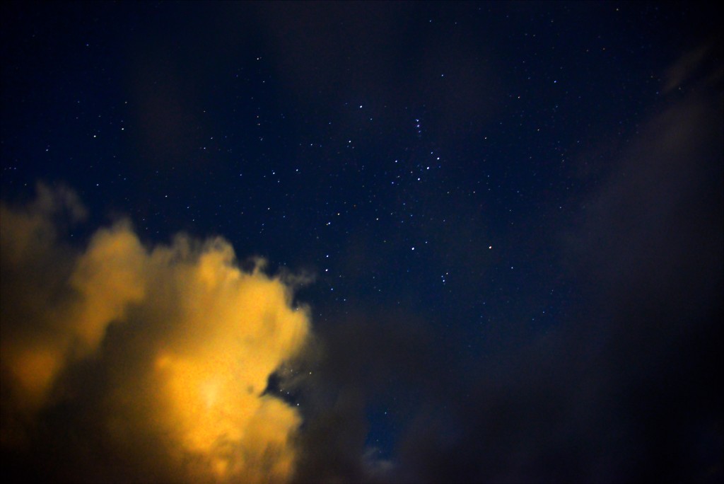
Upside down Orion. For those of us used to the northern hemisphere, this well-known constellation doesn’t look quite right. For those in the southern hemisphere this group of stars is referred to as the saucepan, where Orion’s belt is the pan and his sword is the handle.
![]() This work is licensed under a Creative Commons Attribution-NonCommercial-ShareAlike 4.0 International License.
This work is licensed under a Creative Commons Attribution-NonCommercial-ShareAlike 4.0 International License.

