7 AM. Outside the tent, it’s still dark. Only the rays of headlight torches penetrate the morning mist. Stiff bodies crawl out from light-weight, and hence too small, tents. With some on one hand, they throw down something freeze dried with hot water added, while others cram the equipment down into small, light, expensive rucksacks.
It is cold, at least Mediterranean-in-June-cold, but that’s the point: To do as much of the steep ascent as possible before the sun rises and starts burning.
The Germans have the most Ordnung, and are often up even at six. Then comes the main crowd, including us four Norwegians that are far enough down the alphabet, sleep wise, to wish the sun waited a couple of hours. Is this supposed to be a vacation? At the tail are some red-haired Irishmen as they need to have a double breakfast and a Guinness-equivalent first. They will not enjoy the visual bonus of forcing one self up early:
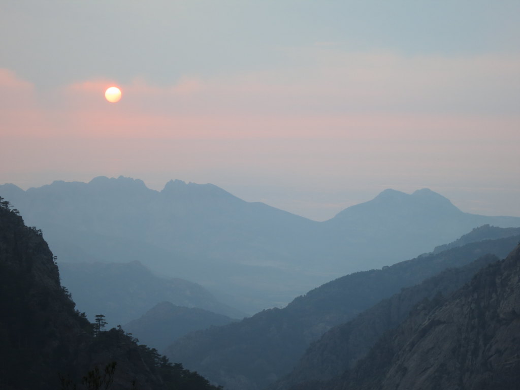
Slowly, the mist lifts. The sky turns into a palette of red and blue. Rays of light hit the mountainside first like shots from snipers hidden behind the mountains in the East, then an avalanche of light comes down from the high peaks, and bathes the mountains in red, a deep red from the granite they are made of.
It’s morning on the GR20, le Grande Randonee Vingt, in the mountains of Corsica. Another day of several hundred meters ascent on a path winding between edges. Another day with sore feet, in a breathtaking landscape, wild like the Lord of the Rings and warm as a Mediterranean breeze at the same time.
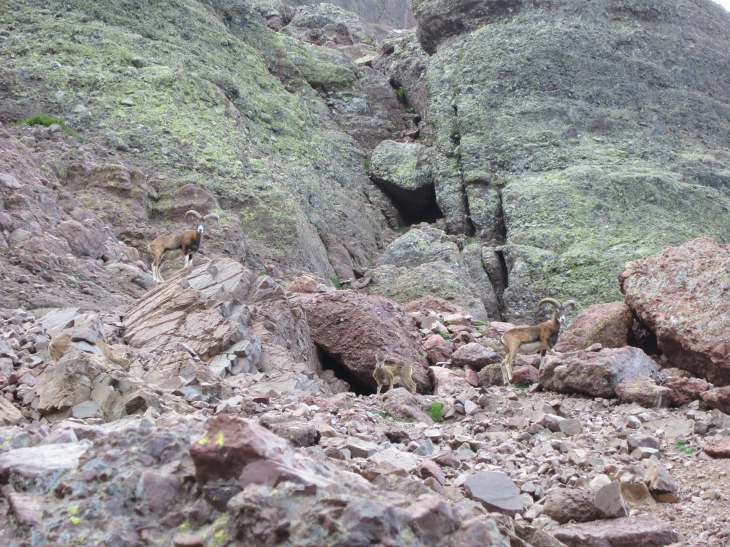
Corsica. The island of beauty, L’Ile de la beaute, a steep, rugged piece of mountains in the middle of the Mediterranean. I first learned about Corsica through the adventures of my childhood heroes Asterix and Obelix. Their travel mate, the chieftain Bonapartix, showed them the steep mountains, the forests with rosemary and thyme, the wild pigs and the amazing sausages made from them, a proud stubborn people, united against the occupying roman while fighting internal feuds.
Coming to Corsica in real life in was almost like walking with Asterix and Bonapartix. And although French today is the common way to get “un croissant, sil voux plait”, the Corsicans proudly keep their own language. Since the 1980s, Corsica has gained more internal independence with its own parliament and a university in the old capital Corte.
It is easy to envision how the steep mountains of Corsica shaped the culture of its people. To each steep valley one clan, guarding against, even distrusting, the neighbours and especially foreigners. Kind of like another steep country further North? Again, geology seems to have a lot to say in how a society develops. Our walk on the GR20 thus also was, literally, a trip through the foundation of Corsica.
The good thing about being a geologist is mountain trips are a double pleasure: There is the beauty of nature, but also the joy of discovering the story behind. The trip becomes a kind of detective work, a walk where each mountain top is a piece in a puzzle to solve. Put me on a mountain, and I become almost like the child who discovers the world by putting everything into its mouth.
Corsica owes its existence to the long collision of Africa with Europe, from around 60 million years ago, the same event that formed the Alps. These mountains on Corsica consisted of older rocks, mainly granite, that formed during a much earlier continent collision. On top of these rode thrust nappes, huge slices of old sediments and basement rocks, pushed up by the collision forces.
From around 30 million years ago, the contraction moved to what is now Alps, and the Western Mediterranean sea began to open. Without the confinement, the mountains collapsed, and the thrust nappes dropped down along an enormous fault zone that runs across Corsica from the North to the Southeast. Today, the nappe hodgepodge lies to the East of this zone, while the granite rocks, rid of the burden, floated up on the West side.
The highest mountains of Corsica belong to this bounced-up basement, and the GR20 follows it for most of its length. I expected it to be a monotonous eternity of granite. How wrong I was! Instead, GR20 became a detective trip through a goodie bag of clues to the island’s violent past.
Well. It started with granite. From the busy Ajaccio, the present capital of Corsica, an engineering masterpiece of a narrow gauge railroad, slowly climbed into the mountains to Vizzavona, our starting point, around one third along the GR 20. One and a half kilometer of ascent into the high path of the route was in front of us – all on granite…
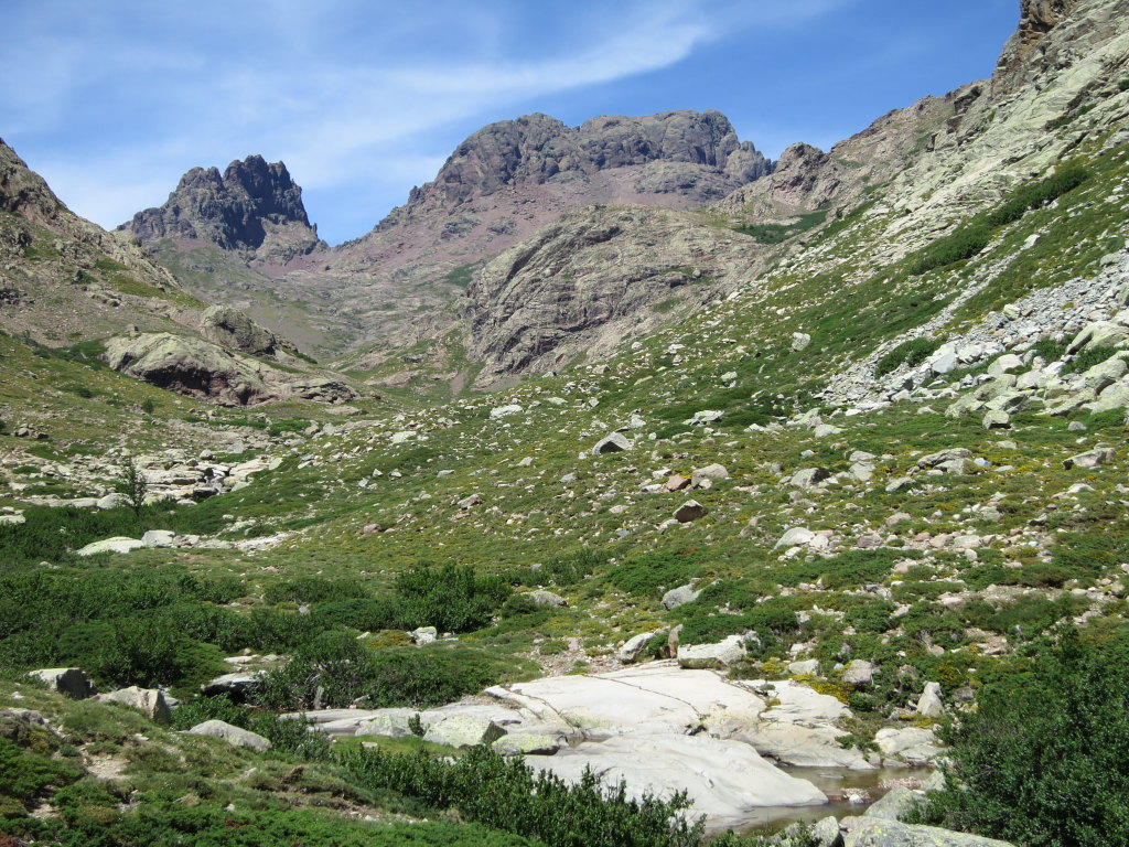
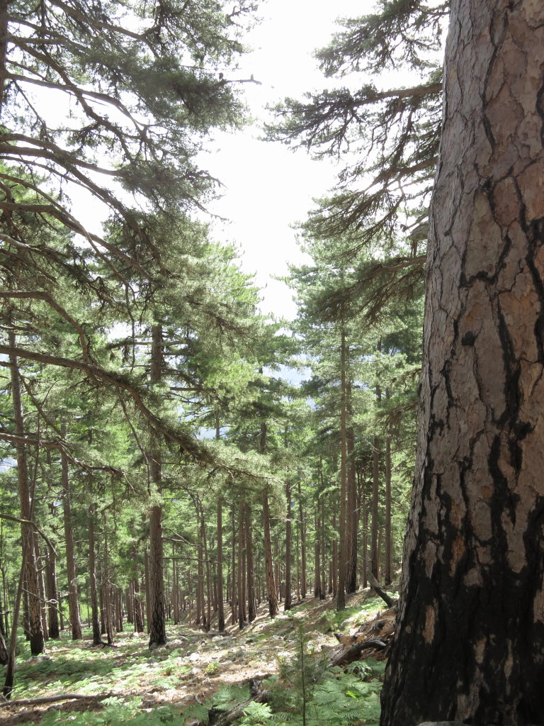
Sharp and edgy along cliffs, often rounded to gentle forms in the valleys. The landscape kooed almost like Norway, but even more; more spectacular, more steep, and a special character from large pine trees and the fragrance of wild thyme.
One and a half kilometer upwards takes some time, because it is steep, and because we made stops at nearly every pool in the river. We simply jumped into the water, no need to take off clothes in the Mediterranean summer. The clothes dried in a few minutes anyway.
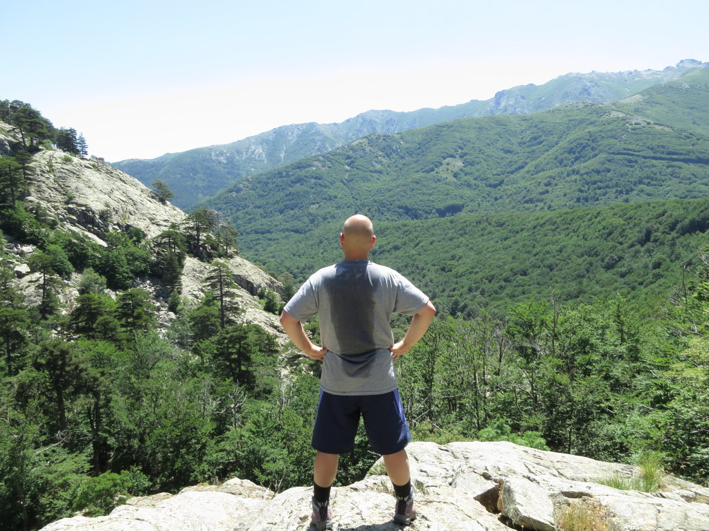
Yours truly pretending to pose like a man and show that we worked hard. You may enjoy the typical Corsican landscape at each side of the obstacle.
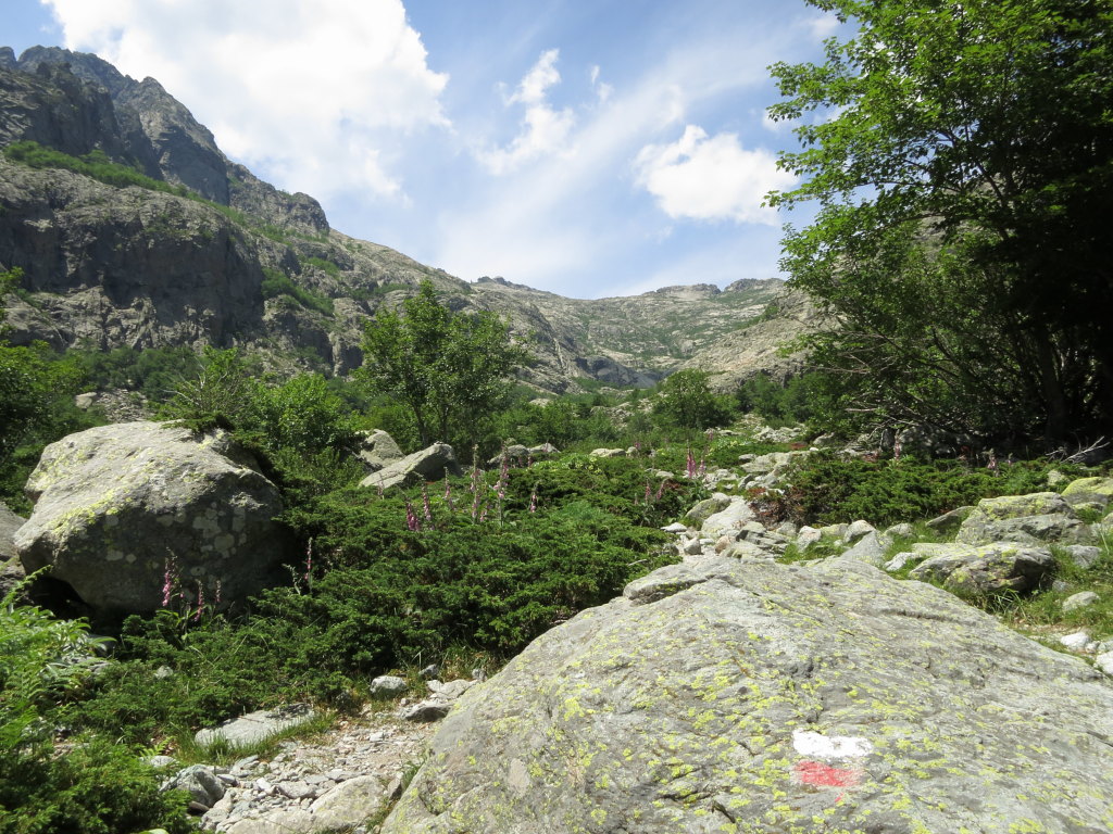
Or turn around and look at the landscape without any obstacle, just the steep, polished valley sides of granite. The red and white mark is the characteristic sign that shows the path of the GR20.
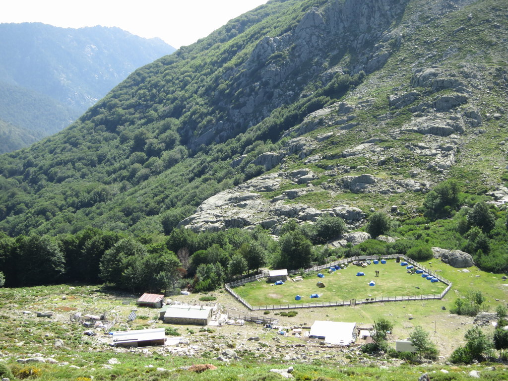
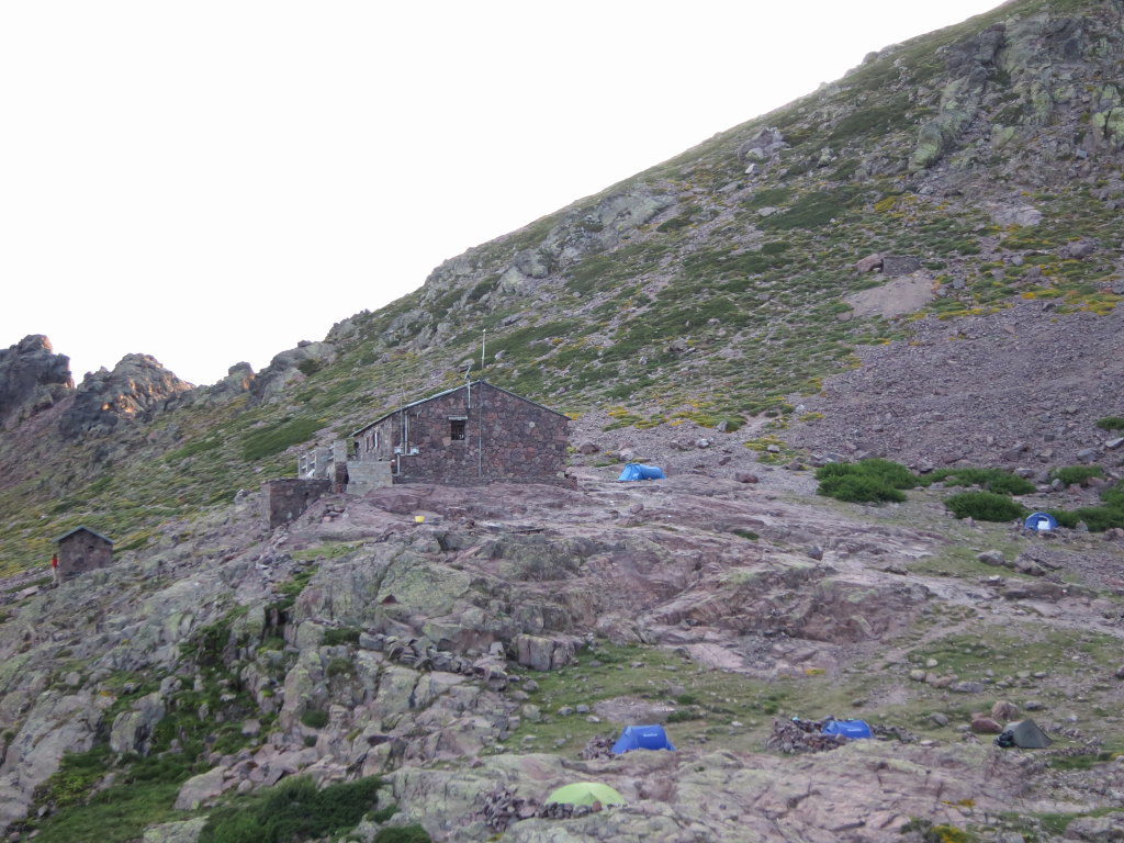
It was already getting dark when we finally reached the first campsite, at the Refuge de L’Onda. The Corsican Mountains are in a national park, with camping only allowed near the cabins, the Refuges. The national park administration operates these cabins, which also supply food and necessities to the wanderers. Most cabins reside in the valleys, protected from the wild elements of the high mountains. Therefore, each day on the GR20 means going up, up, up, along the highs, before it gets down, down, down.
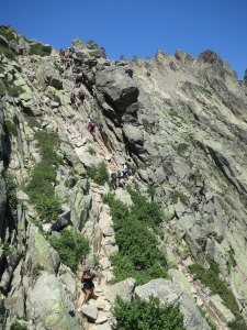
The GR20 requires some scrambling and climbing here and there, but cables are put up for assistance. Note the pretty fracture zone that the path follows.
Our first peak to conquer was Monte Rotondo. At 2622 meters, it is Corsica’s second tallest peak. It rises as a tower into the sky above the campsite at Refuge de Petra Piana. We left everything but some clothes, water and “coma mix” in the tent, and scrambled our way up its flank. The ascent ended at the roof of a tiny cabin, wedged into a crag at the peak, surrounded by vertical, nearly polished walls on all sides except for the path up. The walls seemed bottomless, plunged down into the rainy fog that almost inevitably condenses around the high peaks during the day. Exfoliation is the geo-word for the mechanism behind such steep walls: They form in rocks where there is little other texture to control how the surface looks. At high altitudes, where there can be considerable changes between day and night temperature, the rocks expand when they heat up in the morning, and contract when they cool down in the evening. Repeat many hundred thousands of times, and cracks develop that follow the expansion.
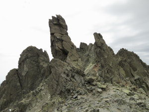
Would Sauron please stop hiding? Close to the top of Monte Rotondo; evil creatures formed by large fractures in the granite.
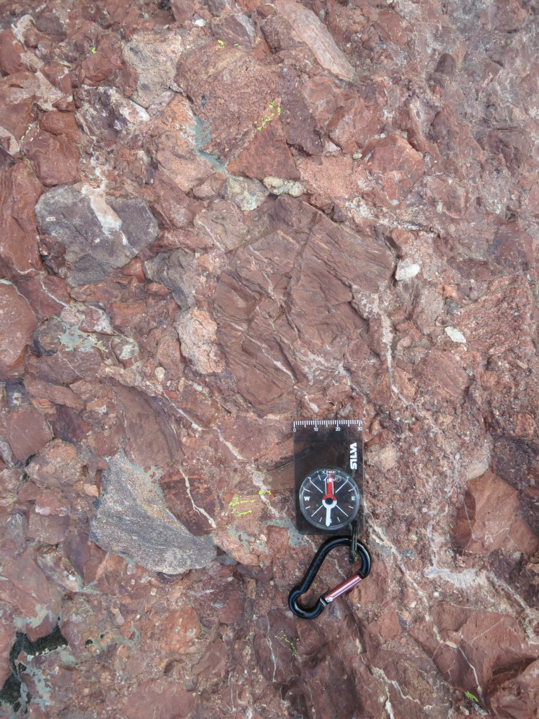
Geology is most fun, and most frustrating, when it surprises, when you ask the question “how the heck did that rock get there??” Paglia Orba, at 2525 meters the third tallest on Corsica, was one big such question. As we approached the cabin at its foot, the granite suddenly was gone, replaced by conglomerate, with large, coarse, sharp clasts of the volcanic rock rhyolite, in a ground mass of red ash. Rhyolite has the same composition as granite, but it forms as a lava on the surface. The contact between granite and conglomerate was hidden by vegetation and scree. In accordance with Murphy’s law, contacts, that can give information on rock relationships, are mostly hidden.
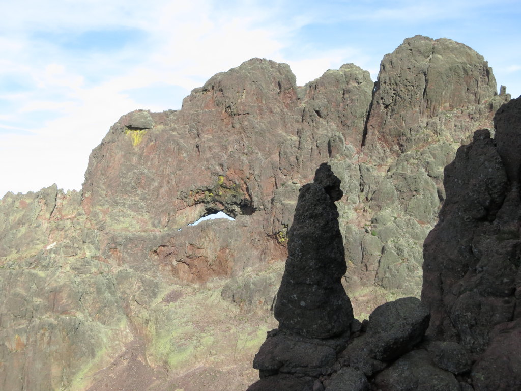
Lady Paglia’s shapes made the conquest of her a challenge. She certainly played hard to get, with a lot of steep climbs. The boulders in the conglomerate made climbing grips, almost like on a indoor climbing wall. Then, a narrow path along the edge of a gorge led to a crag, almost a secret keyhole, which led into the further path long a wide mountain flank towards the top.
Some places, finer channels of sand interrupted the conglomerate. With the rhyolite in place as evidence, the detective’s interpretation was that this part of Corsica once – which he geological map later showed to be the Triassic – had been a volcanic inferno, spewing out rhyolite, that fractured and was mixed with ash. The sand channels testified to calmer periods in between volcanic eruptions. The sheer thickness of the conglomerate pile, from the mountain foot to the peak, suggests that it formed as a large slump, as on the very edge of a large volcanic caldera.
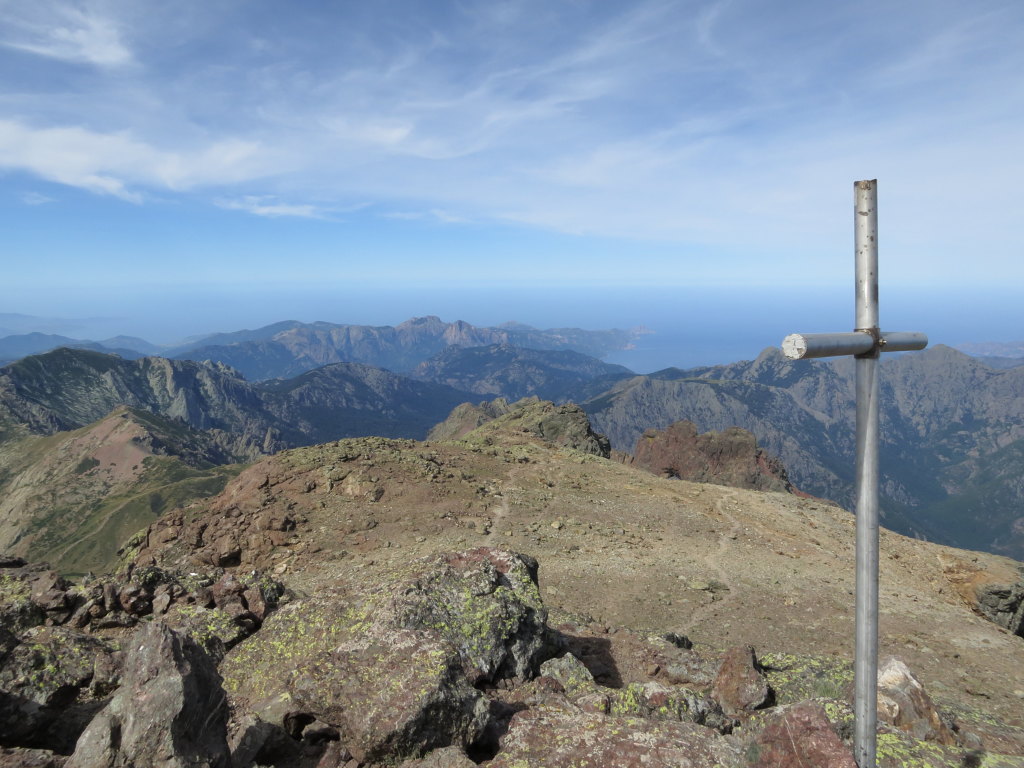
The summit of Paglia Orba, with a view all the way to the West coast. The cross commemorates climbers that have lost their lives on the mountain.
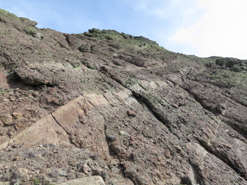
But Corsica was not finished handing out surprises. Further on the GR20, the conglomerate soon gave way to something that looked like mylonite. Mylonite is a rock so heavily smeared out by deformation that it is impossible to recognize what it was in the first place. Or it could be a very fine grained cataclasite, a rock crushed to the smithereens, to fine powder. It was pretty, with green, red, brown, yellow hues, and had to be several kilometers thick, as it went on and on along the path.
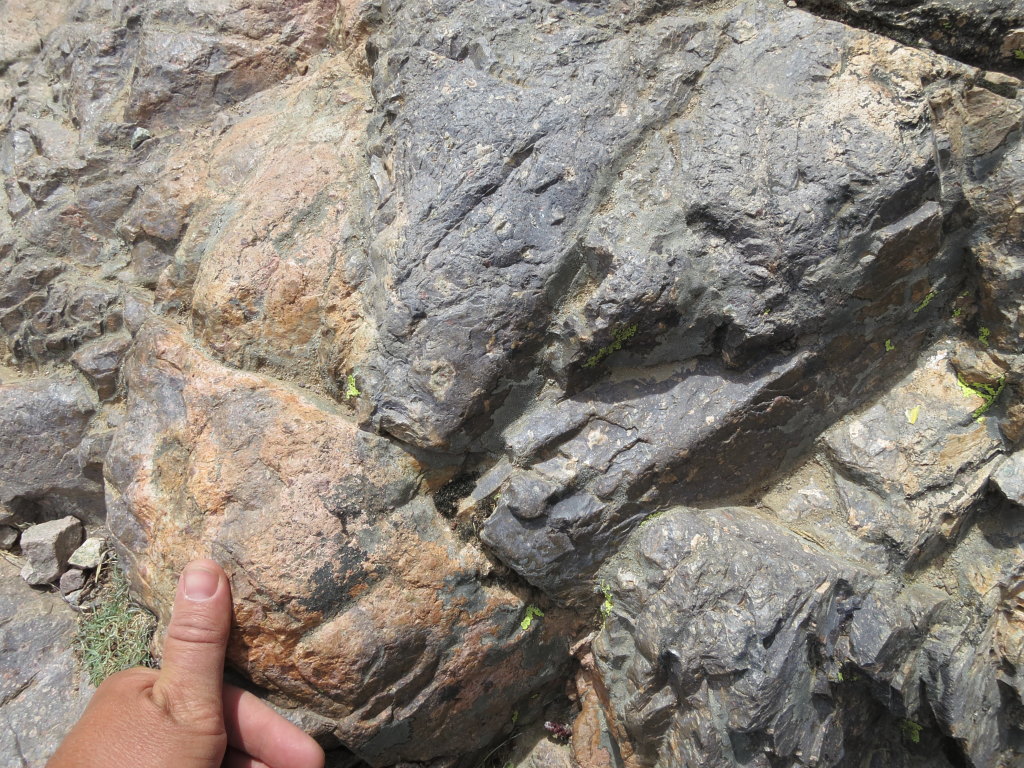
The first image of the mystery. What on – or, more correctly – what in the Earth is this? Cataclasite?
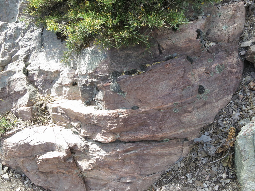
Something that looks like mylonite. Or just something that looks like something that looks like mylonite.
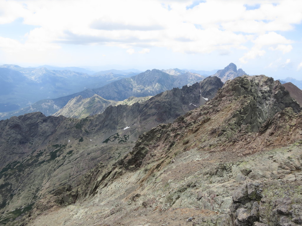
The answer, the blinding flash of the obvious, came on the tallest peak of Corsica. The mighty Monte Cintu, 2706 meters, was not difficult; just a looong scramble up boulder-scree, beneath steep walls that told us they were big, and we very, very small, and must sacrifice lots of lactic acid to reach the top. Eventually, we could see both to the West coast, and almost across the island to the East coast, at the same time. Southwards, valleys and peaks relayed into what looked like eternity, but included the way behind us.
Describing the feeling at the top of such a tall mountain, the satisfaction of achievement is not easy. So I will just state that it was a very satisfactory feeling. The rocks on the other hand, were confusing. The same strange, heavily deformed mylonite…or cataclasite…or whatever? Here and there, folds in the rock proved that it had been deformed by compression. Mylonite, all right. Or?
Scroll back to the flanks of Paglia Orba. What was in between the coarse conglomerate there? Right, finer rocks. Ash. A blinding flash of the obvious: This part of Corsica consists of tuff, fine grained volcanic ash, that the volcanoes near Paglia Orba had spread over a huge area. The folds were slump folds, formed in soft, wet ash sliding down a slope, which had later hardened.
Elementary, my dear Watson. Well, a look at the geological map told me that some other smart people already had the idea. But it is always good for your ego to be able to confirm that they were right…
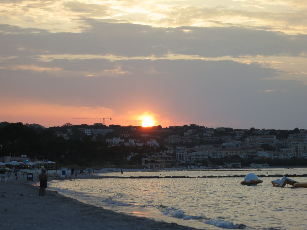
All things come to an end, and so did the GR20. A long descent among enormous pine trees, meeting walkers on their way up, our minds reflecting on the sights we had seen during the two weeks on the GR20. The path ended on the square in the small village of Calenzana, and we could have cold, cold, sparkling, sparkling water! Next: taxi down to the loooong, white beach in Calvi!
This post was originally posted at karsteneig.no.
![]() This work is licensed under a Creative Commons Attribution-NonCommercial-ShareAlike 4.0 International License.
This work is licensed under a Creative Commons Attribution-NonCommercial-ShareAlike 4.0 International License.

