Vitor Barrote is a postdoc at the RUB University in Germany where he studies isotopes and resources. He is also the host of the Gneiss Chats podcast, where he adopts the pseudonym of Dr. B.
Fieldwork in geology is not always a synonym for long hours of walking under the blazing sun. Very often geologists have to conduct fieldwork in areas with very limited rock exposure and when that is the case you have to resort to other ways of finding and describing rocks. This is commonplace in the life of economic geologists. A lot of the scientific advances that are made in the field of ore deposits are the product of hours and hours spent cataloging and describing drill core in core yards of different mining operations. Academics focused on the study of mineral deposits always have a close relationship with mine and exploration geologists and it is very common to combine the interest of industry and university in order to advance scientific knowledge.
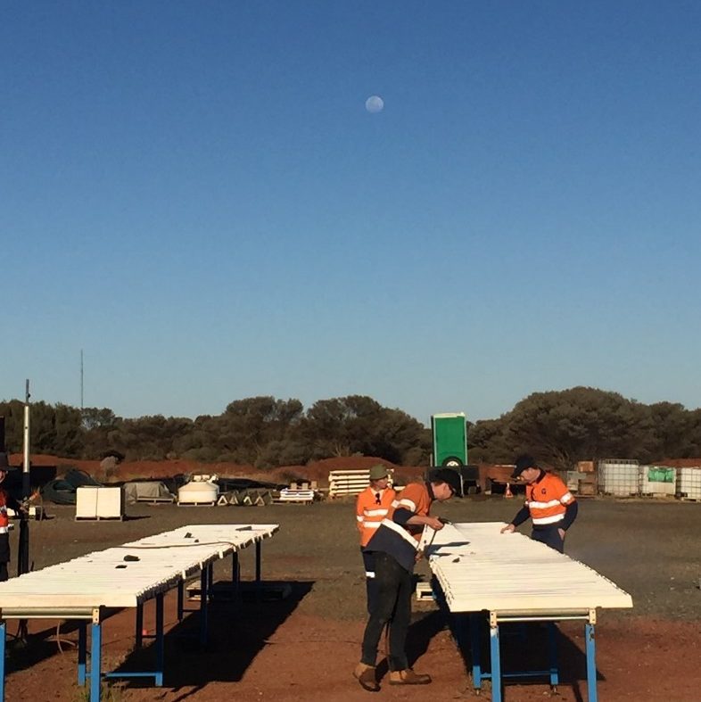
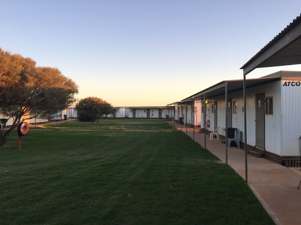
During my PhD, I focused my studies on two volcanic-hosted massive sulfide deposits in the flat and soil-cover-rich Western Australian Yilgarn Craton. About 95% of the time I spent on-site was dedicated to the sampling and description of drill core. Unless your university is located in a historically mining-focused area, chances are that not a lot of emphasis was given to describing and logging drill core as a student. It is definitely a different beast. While it is common for geologists to piece together the geological framework of their study areas from the detailed description of a few outcrops, that they connect with structural and petrographic observations, amongst others. In most cases you have a plane of information (e.g. a road-side exposure, a river cliff) and potentially even a three-dimensional block, depending on how much exposure there is.
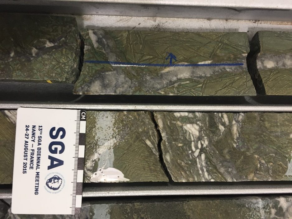
Relying on a network of drill core means that you only get a line of information per hole. And on top of that, you might only be getting a few centimeters of exposure to a certain feature. Identifying a dyke or a sill in drill core might not be as easy as in a rock-wall because at first glance the geometry of your rocks might not be very clear to you. However, with enough hours under your belt, you can learn how to visualize the underground with the use of a drill core, exactly as you learned to observe the secret geological information that is present everywhere in our planet and that is only visible to the trained eyes of a geologist.
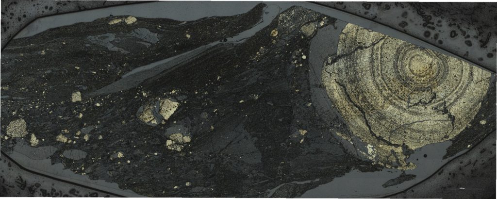
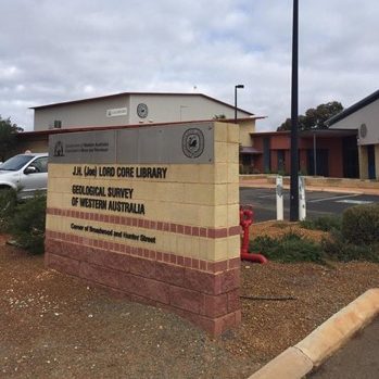
And then there is the upside. Some of the freshest and beautiful rock samples I have ever seen came from drill core. A few examples come from the Geological Survey of Western Australia’s Core Library in Kalgoorlie, where I have described and collected samples from the rock sequence that hosts the silver-rich ore from the Nimbus deposit [1, 2]. The first notable sample is a komatiite of the Kambalda Formation that had the most magnificent spinifex textures I have ever seen. Prior to this visit to the Core Library, my idea of spinifex only resembled what I saw in these drill core samples, and instead of green, the rocks were mostly brownish dirt. The second one is actually a set of samples from a gorgeous layer of pyrite-rich black shales. The beautiful concentric nodules of pyrite not only produced one of the most beautiful optical microscope pictures I’ve ever taken, but they actually told us a lot about the seawater environment in which these rocks were formed, and how it was influenced by the nearby discharge of metals by the mineralizing system [2].
But the best part of doing field work in an active mining field is going underground. Visiting an underground mine is a huge logistical hurdle and it requires a significant time and resources commitment from the hosting company, since they are responsible for the safety of the visitors and have to dedicate a crew, that is trained in the procedures and operations, to accompany the academics. However, if drill core logging is one step lower than outcrops as far as visualization of the geometry of the rocks goes, this is the complete opposite.

I visited the Bentley mine, near the town of Leonora (WA) and we went down to about 1000 meters below the surface level to describe and collect samples from their volcanic rocks and massive sulfide lenses. When you are underground it is uncomfortable. It is extremely hot and humid, it is dark and your headlamp is your best friend. Also, because you go down through a network of tunnels that spiral, your sense of direction gets very messed up. But as soon as you get out of the car and you can actually see the rocks, you forget about all that discomfort very quickly. There is something magical about being immersed by rocks like that. Under the artificial lights of the torches, the extremely fresh and unaltered sphalerite hosted by the volcanic rocks, shined like stars in the sky. All of the sudden, the snippets of layers and folds that you were getting from the drill core all become connected and it makes so much sense. You are seeing them as they should be seen, next to each other, exposing their secrets to you. From the beautiful rocks we collected at Bentley we managed to get tiny zircon crystals that helped us understand if a nearby granite was responsible for heating the area causing the fluids to percolate the host rocks, generating the mineral lenses, circa 2690 million years ago [3].

I came from a school of tradition in classic geological mapping. At the University of Minas Gerais (UFMG) students have 6 months to map an area on a scale of 1:25,000 in order to complete their degree. So, I have always known fieldwork to be long hours walking in the sun, and I love it and miss it. But I’m very grateful that I had the chance to experience a different side of fieldwork during my PhD studies and I hope I am lucky enough to be able to see another star-spangled sky some 1000 meters underground.
[2] Barrote VR, Tessalina SG, McNaughton NJ, et al (2020c) Surge of ore metals in seawater and increased bio-activity: a tracer of VHMS mineralization in Archaean successions, Yilgarn Craton, Western Australia. Miner Deposita.
[3] Barrote VR, McNaughton NJ, Tessalina SG, et al (2020b) The 4D evolution of the Teutonic Bore Camp VHMS deposits, Yilgarn Craton, Western Australia. Ore Geology Reviews 120:103448.
![]() This work is licensed under a Creative Commons Attribution-NonCommercial-ShareAlike 4.0 International License.
This work is licensed under a Creative Commons Attribution-NonCommercial-ShareAlike 4.0 International License.
