Pep Cabré is a geologist from Barcelona, Spain who studied his final year of undergrad in Iceland. Afterwards, he was part of INVOGE, a master programme in volcanology between Michigan Technological University and Universitée Blaise Pascal in France. For his master thesis, he studied the textural characteristics of pyroclasts from different sizes. He also worked as a volunteer in CIIV, a student exchange programme focused on monitoring activities of Colima volcano, México. Nowadays he collaborates with a geological tourism company (Itineraris Geològics) and manages a hostel in the Spanish Pyrenees.
This adventure started while working as a volunteer in the CIIV, a student exchange program in volcanology based in the Faculty of Science at the University of Colima, México. I would not be completely wrong if I say that my work there consisted in camping in a perfect spot with fascinating views from a continuously erupting volcano with an explosion every 2 to 6 hours. Ah yes, I forgot to mention that we also took gas measurements and record thermal and infrasound anomalies.
After having seen dozens of explosions and be an expert in DOAS spectrometer, Nick Varley, CIIV’s coordinator, proposed to some of his students a three-week trip to a remote Pacific island, which I never heard about. Before the meeting with Nick, I google “Isla Socorro” and I immediately felt in love with it. It turned out that the island was located 450 km south from Baja California and 650 km from Mexico’s west coast. But Socorro was not alone in the ocean, it is the largest island of Revillagigedo Archipelago, a group of four islands. These islands are located at the intersection of a fracture zone and an abandoned mid-ocean ridge spreading center. Socorro is only 16 km long and it is inhabited by some birds, thousands of crabs and 50 members of the Mexican Navy.
Geologically speaking, Isla Socorro is a distinctive case, since it is the only dominantly peralkaline trachyte and rhyolite volcanic island in the Pacific Ocean. After reading the few scientific articles published about the geology of the island, I learned that the last eruption occurred in 1993, it was a submarine flank eruption few kilometers away from the northwest coast. I imagined the island’s surface broken by cinder cones, lava domes, numerous ravines, covered by lava flows and fumarolic fields. But the best advice about the island and the instruments came from previous students. They helped us a lot with the preparation, they also warned us about two things: thick vegetation and mosquitos.
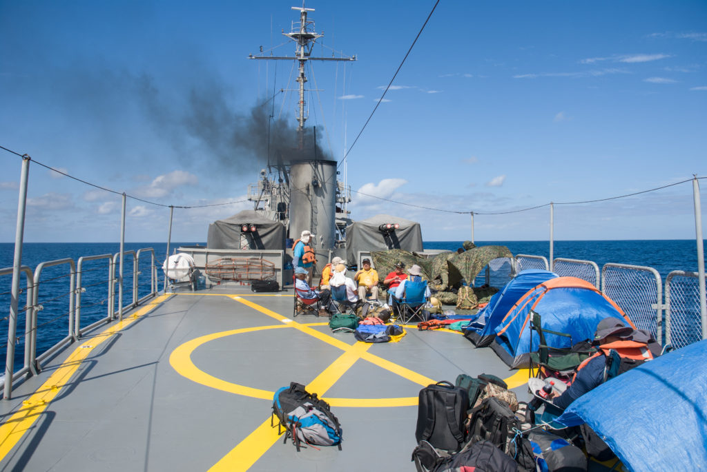
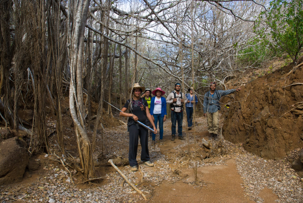
One month before the departure, the expedition team was formed. The group was made up by four Mexicans, two French, and a Catalan student. Our aim was to improve the geological map of the island, measure the diffuse CO2 from the soil over active fumarole fields, measure the radon in soil and collect rock and spring water samples. The day of the departure we were all a little bit nervous, once in the harbor of Manzanillo, we spotted the navy boat responsible to drop us off in the middle of the Pacific. We found out a fun fact about the boat, it turned out that it was built in 1942 for the US navy and got damaged in the World War II when a kamikaze crashed aboard. After some very strict safety controls we went on board, immediately after, a couple of marines split our group between girls and boys. They took the girls to a cabin and the boys were confined on the heliport, during nighttime the girls were forbidden to go out of the cabin and the dining room. We could not understand the reasons but it was like that. Sometimes it can be difficult to reason with the navy.
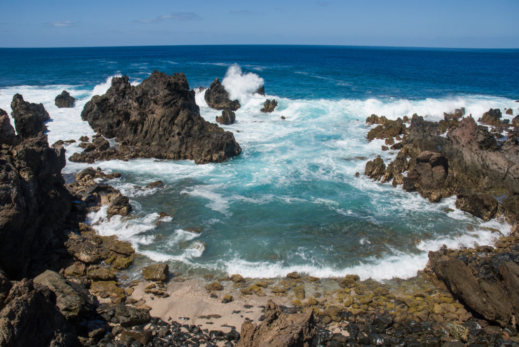
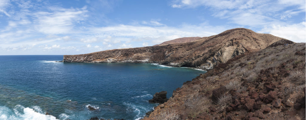
Land ho, land ho!! With the first light of the morning and after 35 hours of navigation, Isla Socorro emerged from the depths of the ocean. From the boat, we could see Mount Evermann, the highest point of the island with 1,050 meters and some cinder cones and lava domes spread over the south shore. The clouds, the calmed waters and the light seemed to welcome us to this mind-blowing landscape.
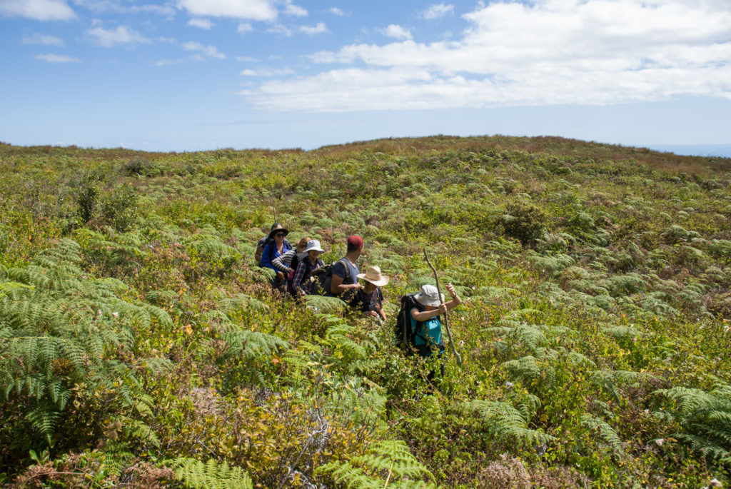
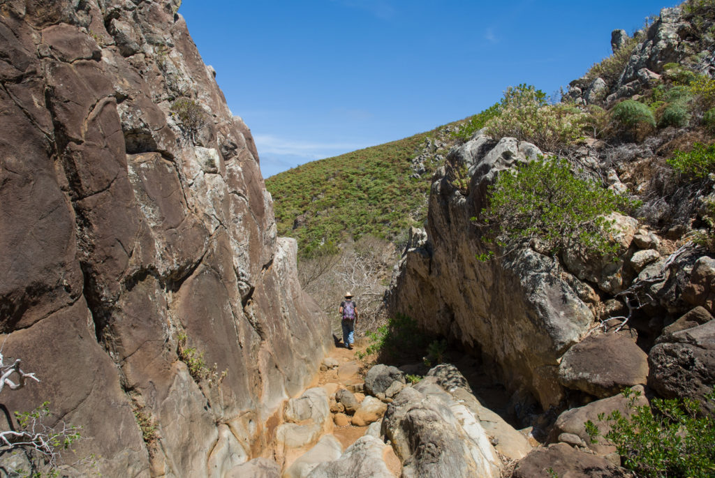
Our base camp was a small house within the Socorro naval base, our plan for the next three weeks was to camp a couple of nights, then go back to the base to refill batteries, food, water, and energy and take a shower, then go back to the field and so on. In Socorro, the most complicated thing is to find good outcrops since just a couple of trails go across the island: a 7 km-long road that links the base with an airstrip and a trail that goes all the way up to the summit of Mount Evermann. Due to the thick vegetation, these trails were very valuable however, our aim was to map with detail the most remote and unexplored zones. Thus, we thought that a machete would help to fight against the crazy vegetation that covered more than a half of the island, but once in the field, the progress was too slow anyway, the branches were too thick to cut them off with a single cut.
The first day in the field things started to go wrong. After carrying the instrument and the batteries to measure the diffuse CO2, we set the instrument and we pressed the start button, but… surprise! It did not work. We had tested back in the university all the instruments and everything worked perfectly, but in the field, if things can go wrong, they will. In the days following, with the help of the navy guys, we tried to repair it without any success. So unfortunately, we were forced to abandon the CO2 measurements and focus on mapping and radon.
A landform that defines Socorro’s landscape and that instantly capture my attention was the numerous domes that are spread all over the island. It exists about thirty domes which are characterized by steep slopes topped by flat summits, they are rather like giant gelatins made up by very viscous lava typical for late stages of volcanic activity, when the final ascending magma is more degassed. Although lava domes testify that Socorro was very active in the past, the island is still very active and a proof of that is the presence of fumaroles. Apart from the extensive fumarolic field near its summit, we discovered another smaller field which had never been reported before to the west of the summit.
It was essential to communicate both the progress but also the difficulties to our coordinator that was back in Colima, the only way to do it was through the navy computers. The evenings in the base they allowed us to 15 minutes of internet, namely not enough time. This resulted in complications and misunderstandings that we solved as well as possible.
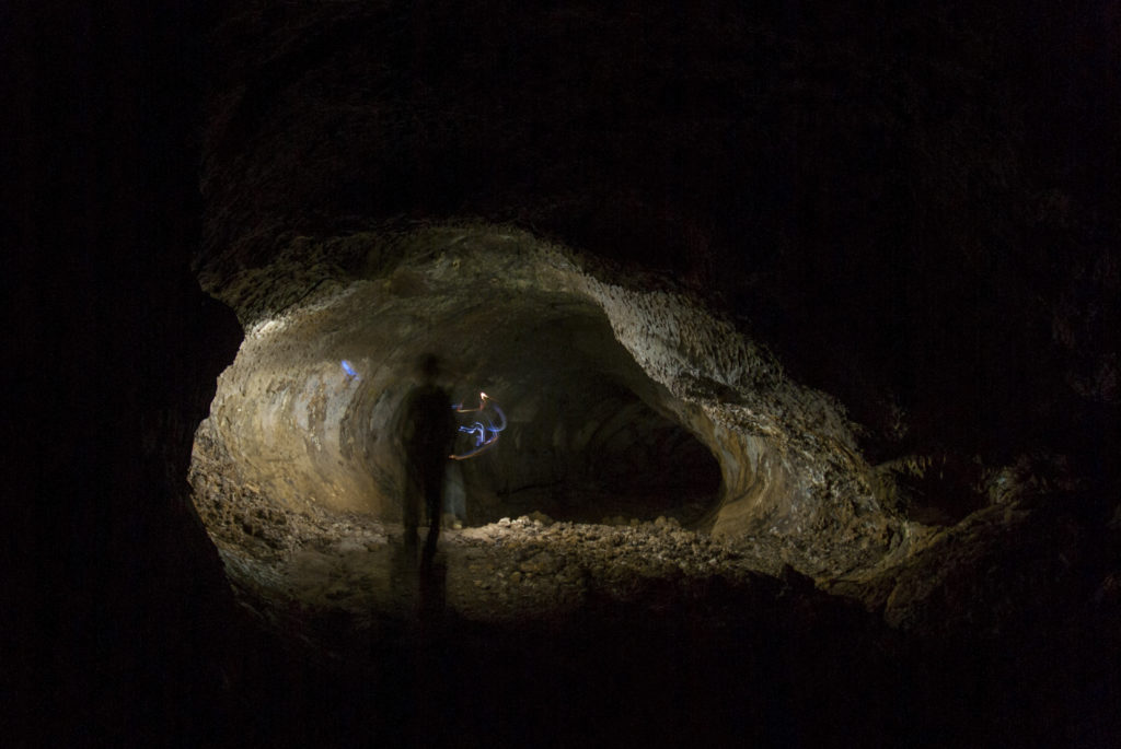
Our time in this tiny paradise came to its end, the bad sea conditions delayed three days the departure from Socorro to the continent, we took advantage of these extra days and we visited impressive lava tubes which have not been visited by a lot of people. We also did some scuba-diving and we saw colorful fishes, a turtle and the scariest animal that I have ever seen: a shark!
![]() This work is licensed under a Creative Commons Attribution-NonCommercial-ShareAlike 4.0 International License.
This work is licensed under a Creative Commons Attribution-NonCommercial-ShareAlike 4.0 International License.

