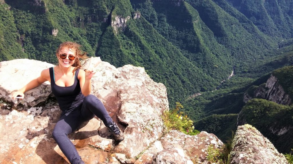
Letícia Betezek is an undergraduate student studying geology at the Universidade Federal do Paraná in Curitiba, Brazil.
Clique aqui para a versão em Português.
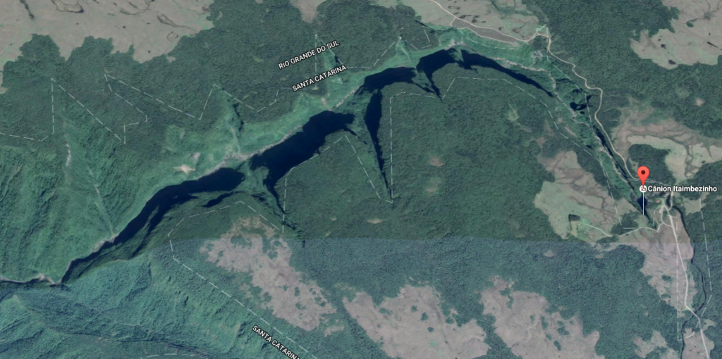
The region called Aparados da Serra located on the border of the Brazilian cities of Cambará do Sul – Rio Grande do Sul and Praia Grande – Santa Catarina, was the main destination of our road trip. In this place there are two national parks: the Parque Nacional Serra Geral and the Parque Nacional Aparados da Serra. The trip was five days long and we traveled about 1400 kilometers (to and from), starting from the city of Curitiba – Paraná.
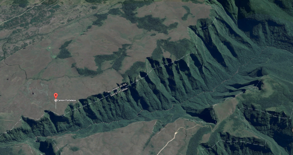
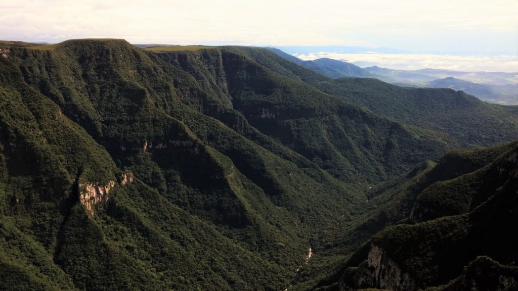
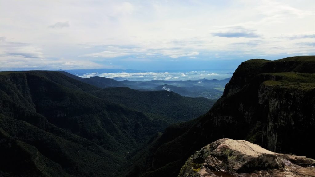
This part of the Rio Grande do Sul region has one of the largest groups of canyons of Brazil, which have an unimaginable beauty. In this area there is a formation called Serra Geral, that is associated with one of the largest magmatic episodes in Earth’s history. The Serra Geral Formation consists of volcanic flows from Cretaceous age, that reach at 1500 meters thick and is related to the rifting of Gondwana. In Aparados da Serra, Serra Geral was sculpted by the action of rivers, that continuously erode local rocks (rhyolite and rhyodacite), giving rise to the concentration of canyons in southern Brazil. On the first day of the trip we spent the night in the city of Criciúma – Santa Catarina, and we took to the road the next morning to reach the city of Cambará do Sul. Arriving at the destination city, unfortunately the weather was unstable, which forced us to wait to proceed with the itinerary. Luckily, the rain stopped the next morning, allowing us to complete the rest of the journey. The first highlight of the trip was undoubtedly the Canyon Fortaleza. We traveled about 18 kilometers of paved road and 5 kilometers of dirt road to reach the entrance to the Parque Nacional Serra Geral. Along the way, the contact with nature was intense, we were at middle of the Mata Atlântica biome and we saw a range of local animals, as a variety of birds and even a small fox, who followed us along the route.
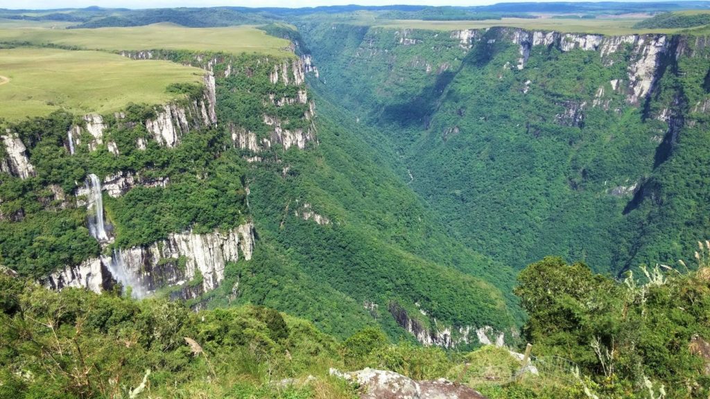
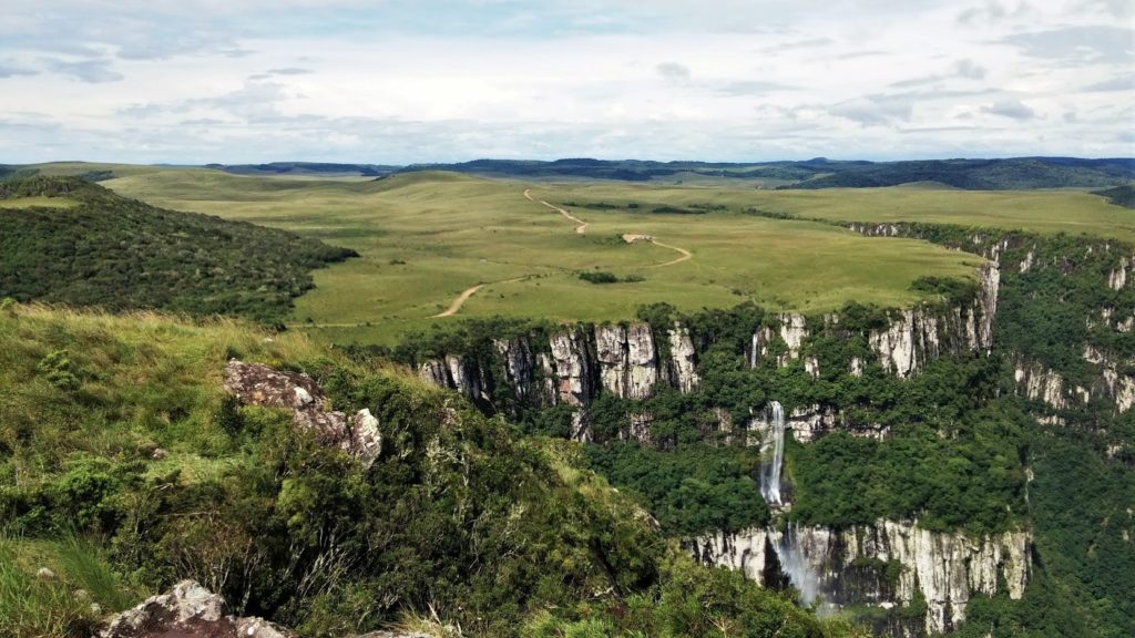
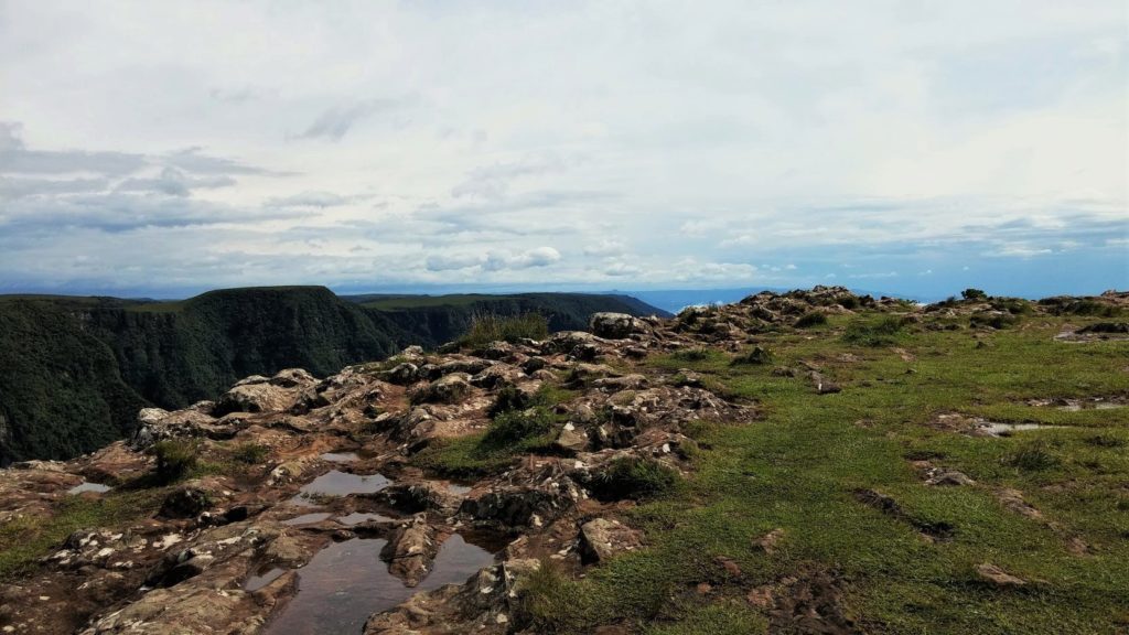
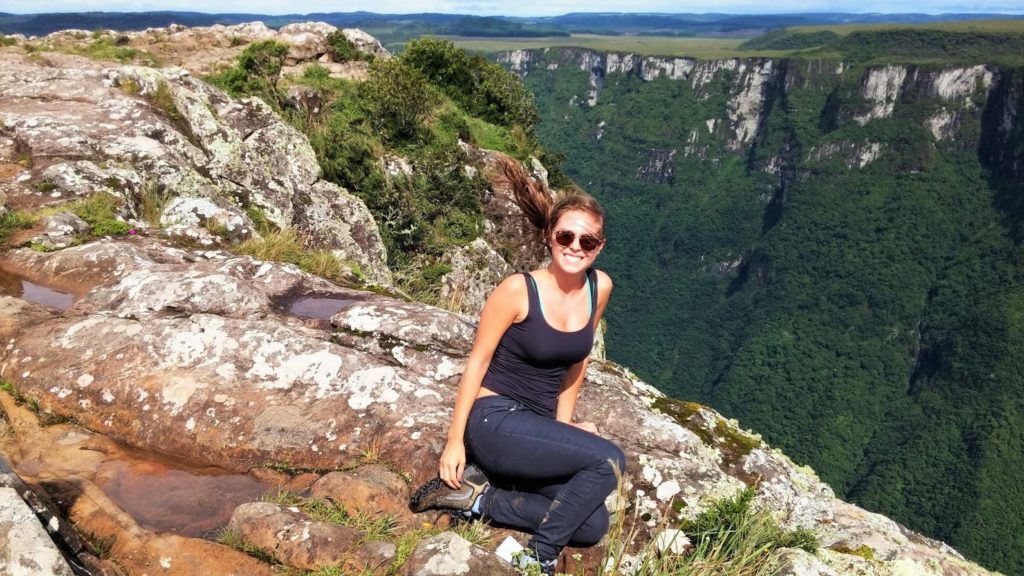
As we entered at the Park, we took the main trail that leads to the highest point of the Fortaleza Canyon, which lasts about an hour. Upon reaching it, we realized the magnitude of the walls that are part of the local geomorphology: It was like feeling insignificant in the face of something so big and so wonderful!
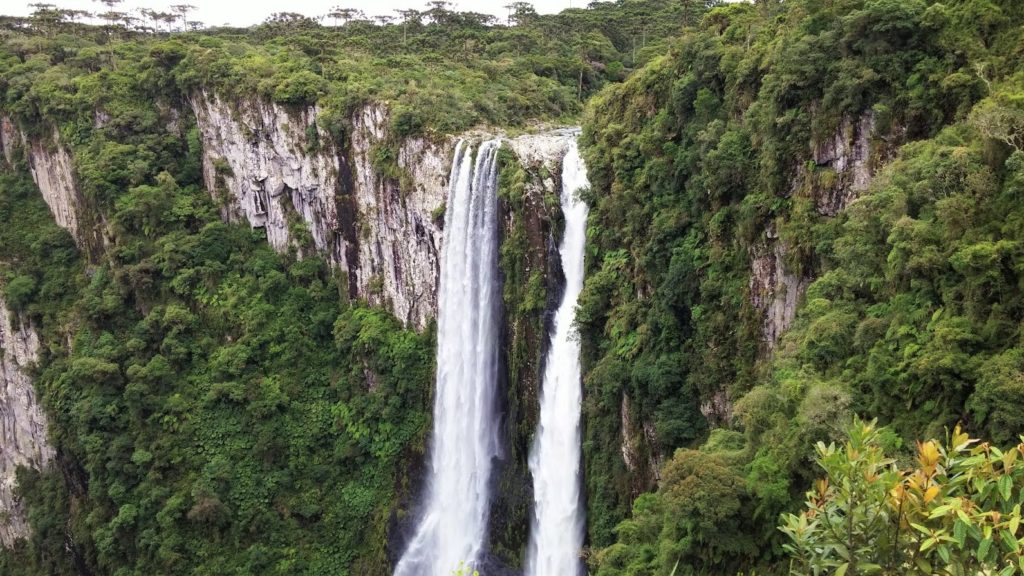
Located at an altitude of 1150 meters, with walls 800 meters high, the Fortaleza Canyon has surprisingly regular slopes with steep gradients. This canyon are continually eroded by the river called Rio da Pedra. Moreover, the waterfalls formed in canyon are an important part of the landscape, that make it even more extraordinary.
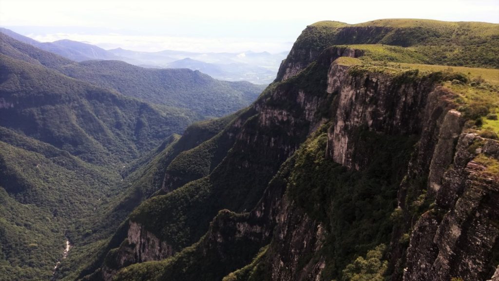
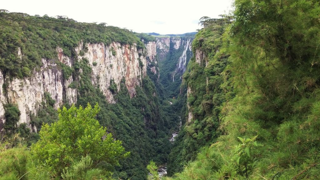
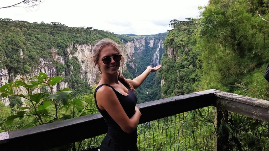
Our next stop was Itaimbezinho Canyon, that is located in the Parque Nacional Aparados da Serra 18 kilometers of dirt road from Fortaleza Canyon. The Itaimbezinho has walls 720 meters high with very deep watercourses, narrow margins, slopes with high gradient, and a surreal beauty!
The rocks that compose Itaimbezinho Canyon are volcanic, similar to the rocks of Fortaleza Canyon – as well as throughout the region of Aparados da Serra – and the abrupt form of the slopes makes it seem that the walls of the Itaimbezinho Canyon are much higher than those of the Fortaleza Canyon, but that is not the case. Its relief was deepened by the river called Rio Boi, which meanders the valley with a unique and infinitely beautiful form. Admiring all this scenery together took us all the afternoon and provided us countless sighs. The next day, with a sense of smallness, facing of the magnitude of nature, we returned to Curitiba – Paraná. Definitely, moments like these make me be grateful for choosing Geology, even with so many other options in life.
![]() This work is licensed under a Creative Commons Attribution-NonCommercial-ShareAlike 4.0 International License.
This work is licensed under a Creative Commons Attribution-NonCommercial-ShareAlike 4.0 International License.

