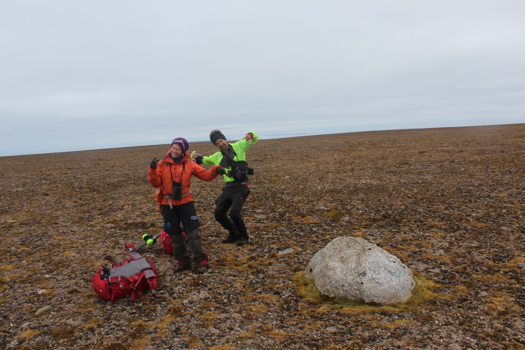
Will is a joint Masters at the University at Buffalo and the University Centre in Svalbard. You can read more about his research here.
Getting a tan in the midnight sun, looking at mud and rocks to understand paleo-ice in the Arctic Circle on the archipelago of Svalbard
A few months ago, I was fortunate enough to land an opportunity to conduct research and study abroad for my master’s degree, however it was not exactly the average study abroad or research experience. The amalgam of my big mouth and a sense of adventure had landed me the opportunity to spend three months inside the Arctic Circle on the archipelago of Svalbard.
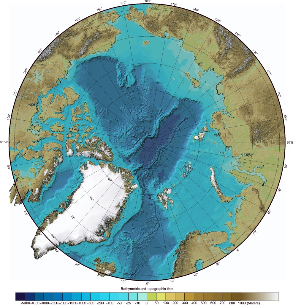
A polar projection shaded relief map indicating the location of the archipelago of Svalbard (www.geology.com).
My goal during this time was to develop a personal understanding and gain scientific knowledge about glacial dynamics cause and effect relationship to climate change over the Quaternary Period. To accomplish this, the trip was divided into two main parts of class work and fieldwork.
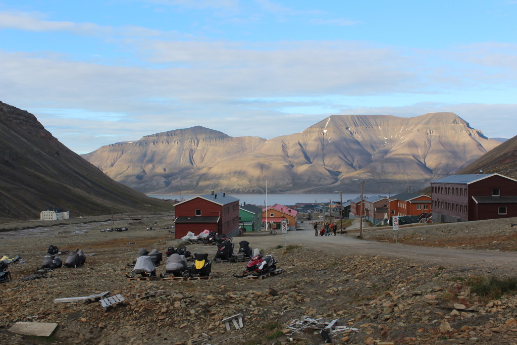
Svalbard is home to the University Centre in Svalbard (UNIS), which is the northernmost higher education institution in the world. UNIS is located in the town of Longyearbyen at 78º N, offering courses and conducting research in the fields of biology, geology, geophysics and technology. The university center pulls in students and faculty from all over the world, which makes for interesting classroom discussions and fieldwork dynamics. The classes focus on cutting edge arctic research topics, but the true highlight of the experience was the field excursions.
As you can imagine, taking a group of students on a field trip in such a remote and unforgiving environment is no easy task, but UNIS knocks it out of the park. The logistics department runs like a Rolex from its highly experienced and professional staff to a gear room that would be the envy of Batman. The university employs a small fleet of vessels to support students and staff during the summer season that provides the most luxurious fieldwork accommodations I have ever had.
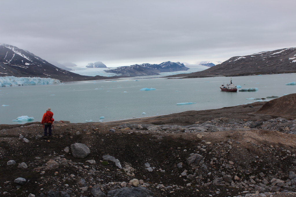
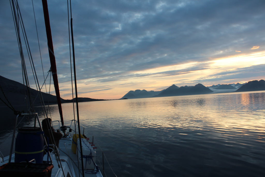
A view of the SS Stalbus in Kongsfjordhallet during al long day of felid work in UNIS’s Arctic Late Quaternary Glacial Stratigraphy Class.
Such a vessel transported my class up and down the coast of the main island of Spitsbergen looking at sites that are any quaternary geologist’s dream. We visited Little Ice Age glacial moraines deposited by glaciers that have retreated almost 1 km since the 1930’s, made of billion-year-old glacial tillite and banded iron formations that were formed when Svalbard was located near the South Pole. We visited a site where the oldest known polar bear fossil has been found. We looked at raised marine terraces where 11,400-year-old whalebones are weathering on the surfaces some 35 m above sea level. We also dug in unlithified coastal sections that preserve transgressive and regressive coastal sequences representing a total of six glaciations over the last 140,000 years.
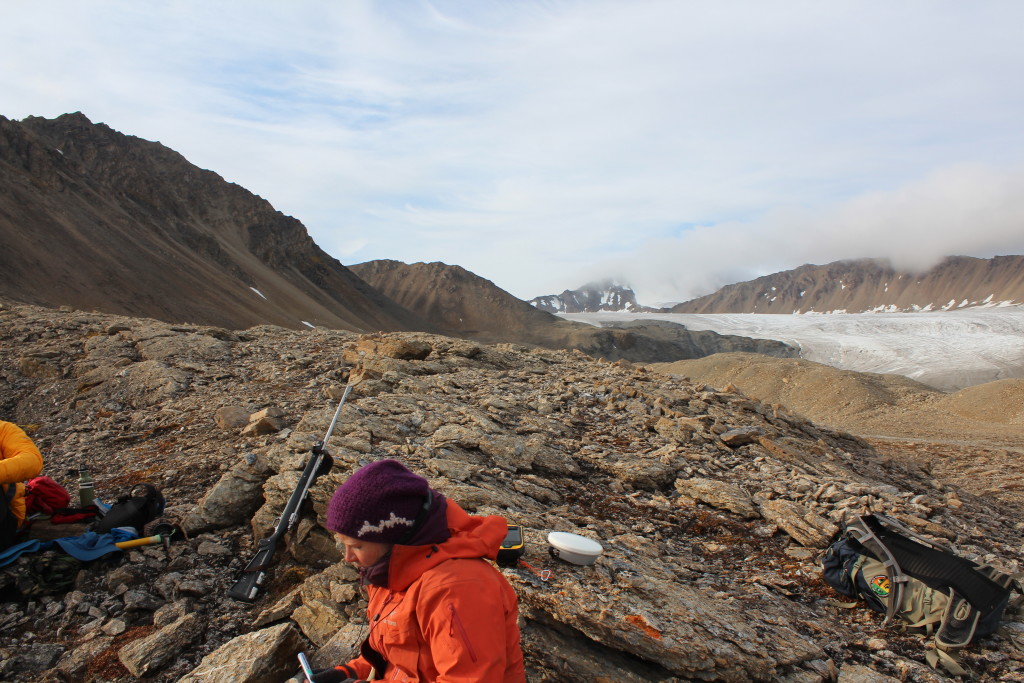
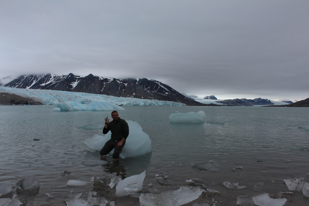
A picture taken looking outside at a moraine composed of billion-year-old glacial tillite and banded iron formations in the middle ground, and Socttbreen Glacier in the background.
In addition to the classwork, I also participated as a researcher on the Norwegian Icebound Project, whose mission is to better constrain the Quaternary history of the Svalbard Barents Sea Ice Sheet. This ice sheet, at its maximum extent some 26,000 years ago, resembled the West Antarctic Ice Sheet of today, which nucleates on land and extends far out into the open sea. Since that time, this massive body of ice has decayed to a fraction of its maximum extent into a plethora of inland alpine glaciers. The timing and spatial extent of its break up remain poorly understood today. Our main goal on this expedition was to better constrain this paleo ice mass’s complex behavior and reach by examining the island of Kongsøya in the Kong Karls Land island chain, the easternmost landmass of Svalbard.
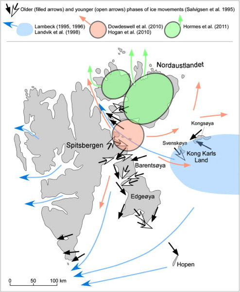
Proposed location of ice domes during the Last Glacial Maximum, and ice-flow directions reconstructed during glaciation and subsequent deglaciation from Ingólfsson, and Landvik, 2013.
Accomplishing this goal is not as easy as it sounds. The island group is almost 300 km from our homeport of Longyearbyen, and is one of the most remote places in the world. To get to and from the island, we chartered the 13.8 m long sailing yacht Aleiga for a rough two-day-long voyage around Sørkapp, into Storfjorden, through the narrow Freemansund, and on to the island of Kongsøya. During the bumpy and crowded ride, we prepared for our fieldwork and kept a 24-hour watch for icebergs and driftwood which was aided by the midnight sun.
In addition to the remote setting, the island of Kongsøya is heavily protected and is off limits to almost all human visitation due to the island’s large population of polar bears. The IceBound Project was able to secure a 48-hour visit to the island to conduct geologic research, which is really remarkable considering we were the first group of geologists to receive this privilege in the last 22 years.
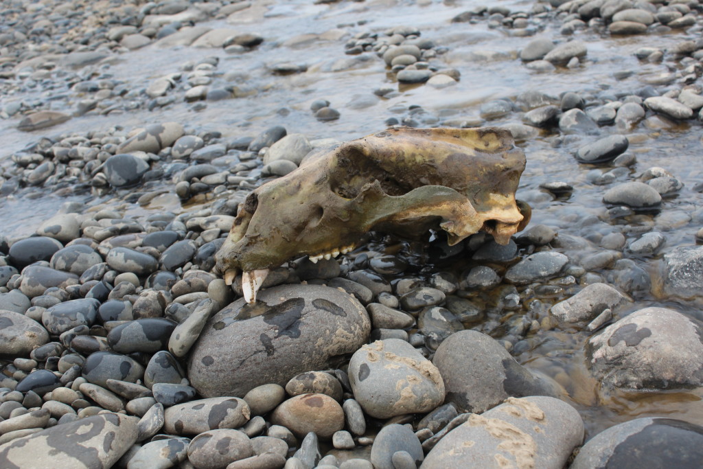
The skull of an adult polar bear that we came across in a stream bead on Kongsøya. This is one of three such sites of polar bear remains we came across. During our time on the island we encountered no living bears, while the last group of geologists to work there had over one hundred sightings. It seems that changes in the sea ice pack has greatly shifted the dynamics of this island in the last few decades.
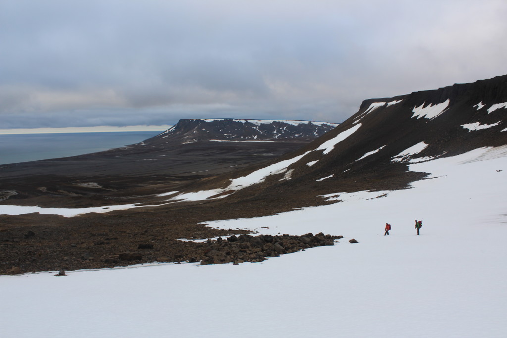
The main goal of the high intensity fieldwork on Kongsøya was to conduct cosmogenic nuclide dating on glacial erratics on the high plateaus and build a dendrochronology on the raised beaches on the Island of Kongsøya. I participated in the cosmogenic dating group, where we scoured the high plateaus of the island for any signs of past glacial activity. The field observations made are some of the most textbook examples of glacially formed landscapes I have ever seen.
The raised marine terraces reach over 120 m above sea level and date back to over 10,000 years before present. This rapid crustal rebound is the largest observed in the area, and is indicative of the largest zone of ice accumulation being present at this location during the last ice age. The raised terraces give way to sharply rising cliffs composed of Mesozoic sedimentary sequences intruded by basaltic dykes. The tops of the plateaus in some areas are so flat you can’t help but think of the concept of a “glacial buzz saw”. On the high plateaus is where we spent the majority of our allotted time conducting field geology – observing, documenting, and collecting samples at a feverish pace.
The landscape on the high plateaus seemed eerily relict, this could be due to the high weathering rates of the country rock, or the presence of periglacial features such as sorted circles. It could also signify the presence of cold-based ice at the time of the last glacial maximum, which preserved an ancient landscape under potentially hundreds to thousands of meters of ice.
To test the age of the landscape we found three areas of interest. The first was at the far easternmost cliff extent of Kongsøya where we came across three massive peat mounds that were roughly 6 m high, 8 m wide and over 40 m long. The odd morphological feature we believe to be relative to the nearby bird colony nesting in the craggy cliffs, providing abundant fertilizer from their droppings. We decided to use the guano and dead vegetation to our advantage by collecting a series of organic matter samples for radiocarbon dating. From these dates we can determine the basal contact age (the transition from soil to moss), find out the time moss began to grow on the landscape, and the rate of accumulation by looking at the age of sample as a function of height in the mound.

To the left is a picture of the bird colony nesting on the cliff edge of the island. On the right, a view of part of the peat mounds forming on the edge of the island.
Further exploring the island we came across a section of the basaltic bedrock, which still preserved glacial polish and striations! Such a surface is a major indicator of the presence of warm bedded erosive ice, and the striations are an excellent indicator of the direction of past ice flow. This surface being preserved in host rock such as basalt allows us to date the timing of deglaciation and get a minimum age of the formation of the polish/ striations through the use of cosmogenic exposure dating.
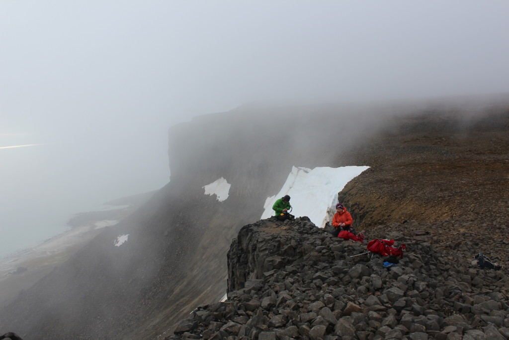
Measuring orientation of striations and collecting a cosmogenic exposure dating sample from a polished basaltic bedrock on the edge of a 300m high cliff ledge.
The last, and in my opinion most interesting find of the trip, came on easily the longest day of the excursion. Our team had heard about the presence of glacial erratics in the central eastern section of the high plateaus from an expedition conducted in the 1890’s by a Swedish research team, which mentioned the presence of erratics in passing. These were the only known glacial erratics on the island and the main goal of the trip. The erratics were known to be quartz-rich and ideal candidates for cosmogenic dating. The lithologies will be instrumental in determining the flow migration path of the ice. So, in short, we really wanted to find these rocks! Our team of three set out to cover some major ground, continually scouting for polar bears and erratics. After about 8 hours of hiking over some truly boot busting terrain, we finally hit pay dirt, three glacial erratics curiously all of similar compositions and clustered within a few hundred meters of each other near the cliff’s edge. Nothing on this trip was as rewarding as the sound of the detonation charge going off on that first sample (we use small charges to collect rock samples); to me it meant we accomplished something of true importance (plus it is really fun to blow up rocks).
After the visit to this remote island we made several other stops to areas where the Quaternary history of Svalbard’s paleo ice remains loosely constrained. This included sites near the Hornsund Station to examine several peaks and a moraine complex, the alpine environment of Dunderbuakta, and the terminal moraine complex at Scottbreen glacier. But those are stories for a different day.
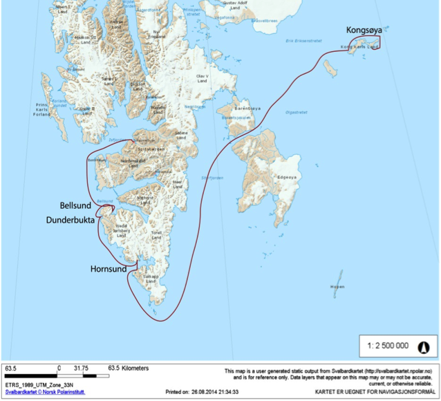
A map of the southern extent of Svalbard showing the rute we travled on our excursion and the locations of our teild sites (toposvalbard.no).
If you are interested in learning about Svalbard’s rich history check out the Spitsbergen Airship Museum and Svalbard Museum. For information about the area’s geography take a look at the free interactive map here. To learn more about UNIS check out the school’s website here. And keep your eyes peeled for myself and my colleague’s pages to see our up-and-coming findings and interpretations from the expedition.
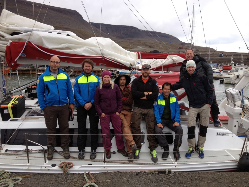
The 2014 IceBound team on the deck of sailboat S/Y Aleiga ready to set sail, from left to right Björn Gunnarson, Hans Linderholm, Anna Hormes, Toby Koffman, Will Philipps, Mauricio Fuentes, Anders Aulie, and Niklas Gerhardson.
![]() This work is licensed under a Creative Commons Attribution-NonCommercial-ShareAlike 4.0 International License.
This work is licensed under a Creative Commons Attribution-NonCommercial-ShareAlike 4.0 International License.

