Steve is a graduate student at Syracuse University focusing on low temperature thermochronology, structural geology and geomorphology working with Dr. Paul Fitzgerald. You can read more about his research here.
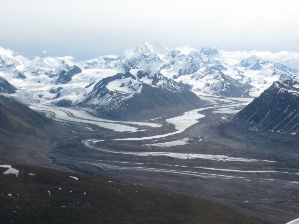
Our first camp was on a medial moraine along the West Fork Susitna Glacier. Close by, the Denali Fault ran under the ice and cut through the Eastern Alaska Range. We were a team of researchers from Syracuse University (my affiliation), University of Alaska Fairbanks and UC Davis, accompanied by an assortment of Alaskan climbers to assist in the field-work and get a free ride into the mountains. The objective was to collect samples along the Denali Fault in the Eastern Alaska Range for high and low temperature thermochronology to obtain a more detailed geologic history of uplift and exhumation in the region. We focused our sampling close to the major Denali Fault and associated structures, such as the Susitna Glacier Thrust Fault, because that is where the highest topography and greatest known exhumation rates were.
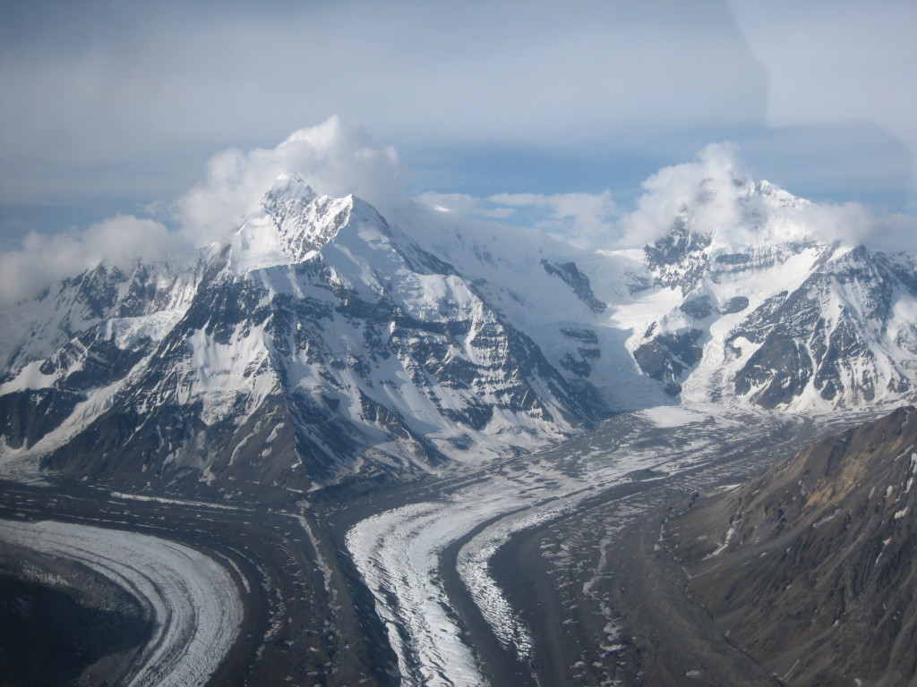
North face of Mt. Deborah and Mt. Hess from the window of the super cub on the flight into the Eastern Alaska Range.
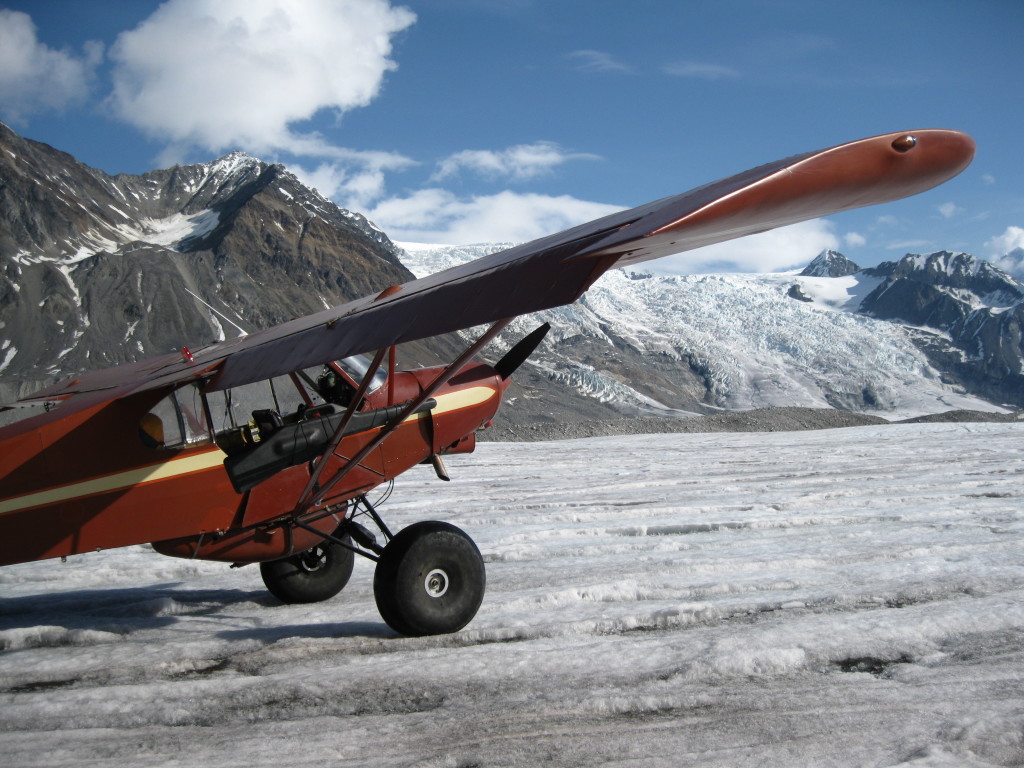
Supercup after landing on the West Fork Susitna Glacier and dropping me and gear off before heading out to pickup the rest of the research crew.
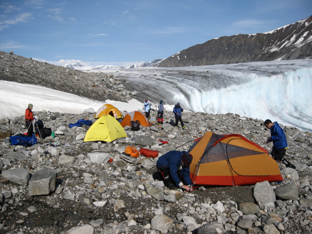
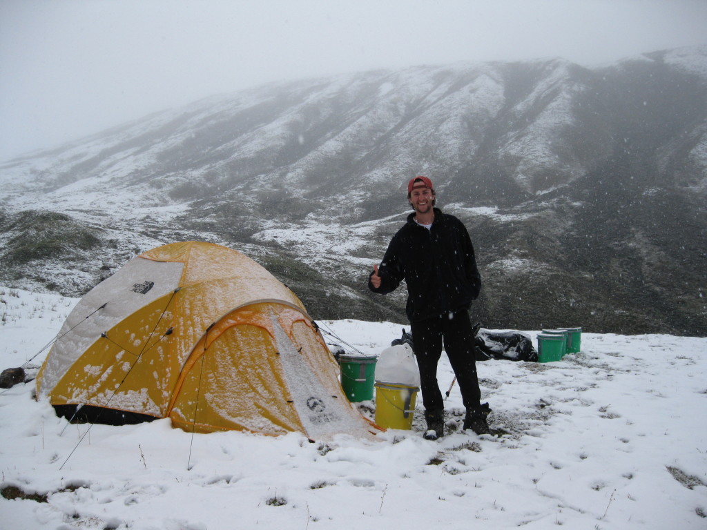
Our team of researchers setting up the 1st camp on a medial moraine on the West Fork Susitna Glacier.
From our first camp we set out to collect samples both north and south of the Denali Fault in order to correlate exhumation rates with the known structures and topography on either side of the Denali Fault. It was interesting that the highest topography and fastest exhumation rates were found to be on the north side of the fault there, while in the Central Alaska Range, the opposite was true. The highest topography, including Mt. McKinley and fastest exhumation rates were south of the Denali Fault in the restraining bend the fault formed.
After skiing across the West Fork Glacier and hiking the lateral moraines to collect samples on the cliff-sides, my advisor Dr. Paul Fitzgerald and I headed to the Susitna Glacier Thrust Fault. There our focus was to collect vertical profiles in both the footwall and hangingwall to determine a more detailed exhumation across the fault and link the history of this subsidiary fault to the Denali Fault. We were successful in collecting two vertical profiles, each with six samples ~100 m apart. The vertical profile data would eventually offer us a distinction between the motion of the two fault blocks through time. We also used our time in the helicopter to fly from our campsite along the Susitna Glacier to collect a horizontal transect across the region from the Denali Fault east to any other suspect faults. While we worked in the Susitna region our colleagues headed west along the Denali Fault to sample and map structures that presumably were controlling the asymmetrical topography across the Denali Fault.
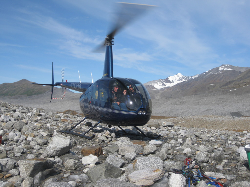
Helicopter take-off from on top of the ice-cored moraine at our 1st camp with Dr. Paul Fitzgerald and Dr. Jeff Benowitz headed to the Susitna Glacier.
After the successful field season and countless hours in the lab processing samples we were ready to acquire data. Our tireless efforts resulted in 18 grain mounts ready for apatite fission track thermochronolgy and many more apatite grains packed and prepared for (Uranium-Thorium)/Helium dating. We used these low-temperature thermochronology methods because the time-temperature window in which they record data allowed us to obtain an exhumation history of the rocks in the few kilometers closest to the surface. This final leg of the journey could be modeled along with higher temperature thermochronology data to provide a complete view from pluton emplacement through exhumation path and to how it got to be collected at the surface. My work was one study focusing on the Susitna Glacier Thrust Fault, that was part of a much larger group effort to uncover the history of the dramatic and remote Eastern Alaska Range, AK.

Two o’clock in the morning on June 21st as the sun never fully sets and we enjoy a beautiful summer solstice.
![]() This work is licensed under a Creative Commons Attribution-NonCommercial-ShareAlike 4.0 International License.
This work is licensed under a Creative Commons Attribution-NonCommercial-ShareAlike 4.0 International License.

