Thanks to Annique van der Boon for this great post about her trip this month to Iran.
 |
| December in Iran – Perfect field conditions. |
Iran is a fascinating country for geologists. Most of the country has a semi-arid to desert climate, so there is quite little vegetation, which means there is a lot of outcrop. Iran is ideally suited to study the disappearance of the Tethys ocean since the breakup of Pangea, as it is the place where the effects of the subduction of the Neo-Tethys oceanic crust, and the subsequent collision of Arabia and Eurasia during the Alpine orogeny can be observed. The country is incredibly big and the geology is very diverse and relatively unexplored. Our trip took us to the
IASBS in Zanjan, in the northwest of Iran, where we met the geologists with whom we cooperate. From Zanjan we went on a 5-day fieldtrip in the Talesh mountains. These mountains are located in the north of Iran, bordering the Caspian Sea. The Talesh is located within the active collision zone between Arabia and Eurasia, and continues towards the north into the Talysh mountains of Azerbaijan, and towards the east into the Alborz mountains. These all together make up part of the Alpine-Himalayan mountain chain. The region is still tectonically active, with many earthquakes, as well as some recent (Holocene) volcanoes.
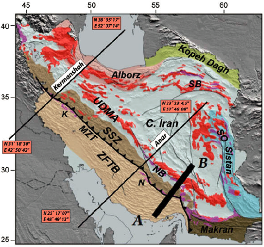
My interest lies in older volcanic rocks, of Eocene age. During the Eocene, large amounts of volcanics were deposited in Iran. The tectonic setting is at present not very clear for all volcanics. Part of them were most likely formed as a volcanic arc that was related to the subduction of Arabia beneath Eurasia, called the Urumieh-Dokhtar magmatic arc (or UDMA). But in the northwest of Iran, the UDMA seems to merge with the Alborz mountains, and it is unclear what their exact relationship is.
I went together with one of my supervisors, professor
CorLangereis, and a postdoc of our group,
Daniel Pastor Galán. Daniel is doing research on the oroclinal bending of the Talysh-Alborz mountain belt.
Although December is not the best time to go to the Alborz/Talesh mountains, we decided to try it anyway. This resulted in a beautiful field trip with conditions that I never worked in before (with lots of snow and cold temperatures).
 |
| Map of Iran showing Eocene volcanic rocks (in red) (Agard et al., 2011). |
 |
| Map of Iran showing the position of the UDMA and the Alborz Mountains (Agard et al., 2011). |
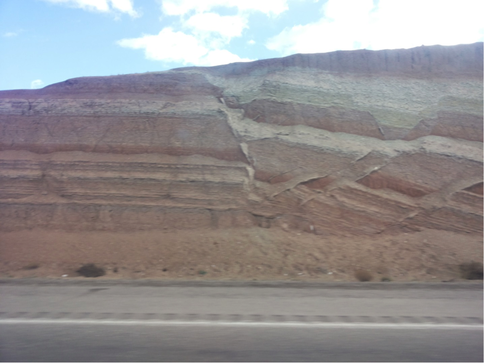 |
| Normal faults in Neogene sediments on the road from Zanjan to Ardabil. |
 |
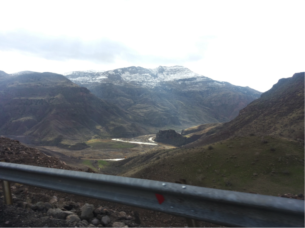
| Alborz Mountains |
 |
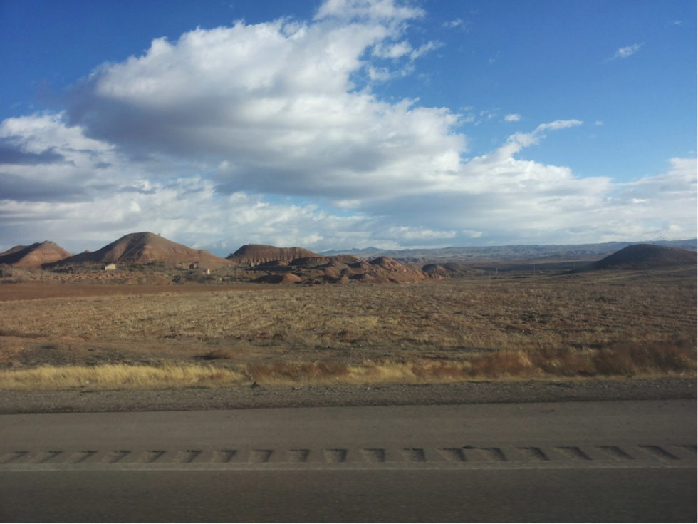
| Eocene volcanics along the road from Zanjan to Ardabi |
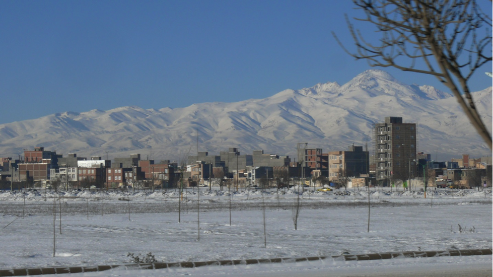 |
| View on the Holocene Sabalan volcano from Ardabil |
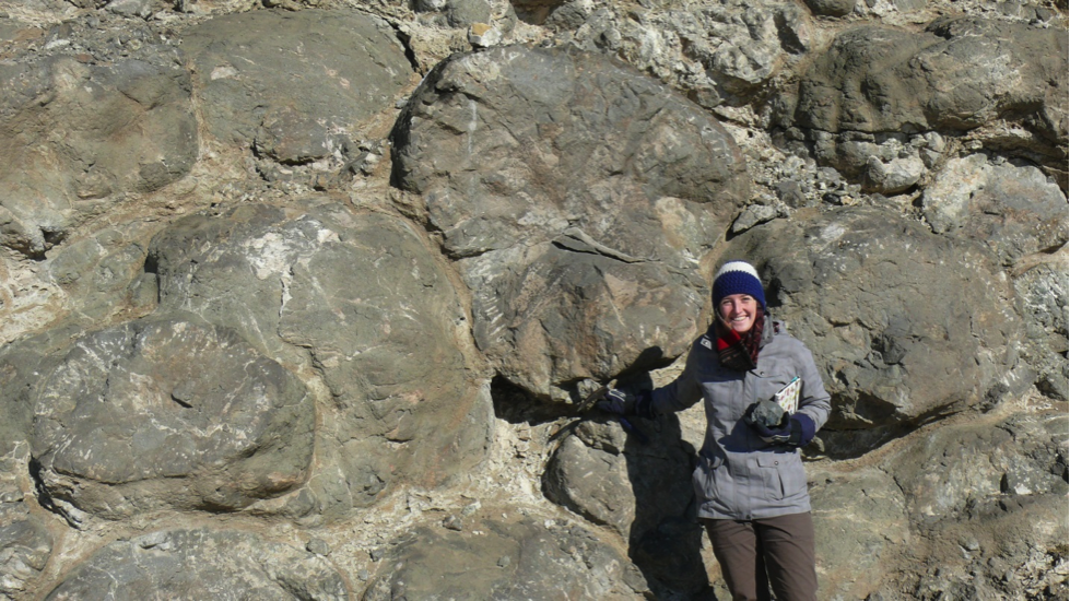 |
| Beautiful pillow basalts near Ardabil |
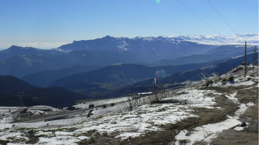 |
| The Iranian plateau covered in snow on the right side of the picture. On the left it drops down to the Caspian Sea (just out of the picture). |
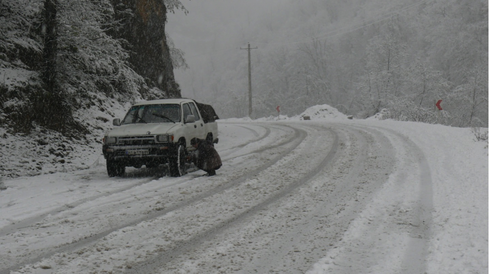 |
| Our driver turning on the 4 wheel drive in the snow. |
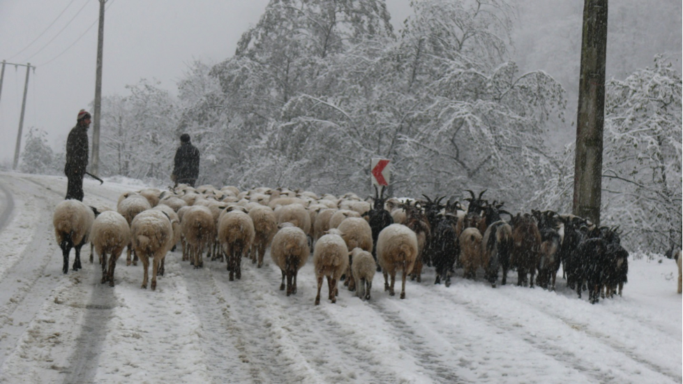 |
| Local traffic. |
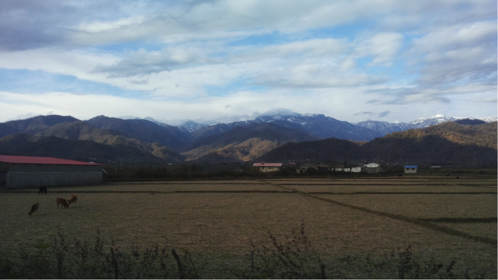 |
| Rice fields near the Caspian Sea with the snowy Talesh in the background. |
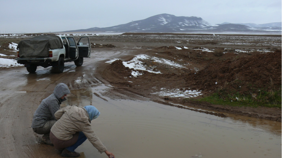 |
| Getting water for drilling paleomagnetism samples. |
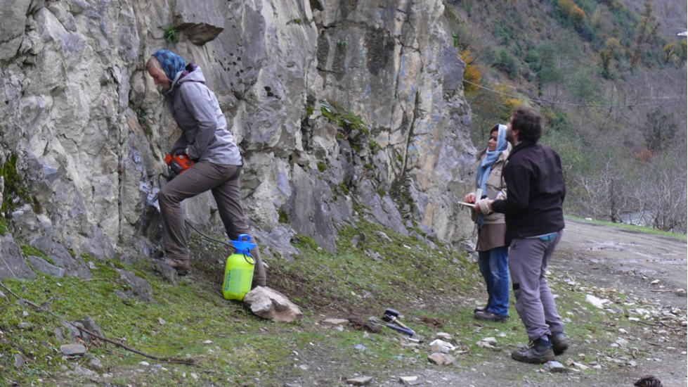 |
| Drilling paleomagnetic samples in Permian rocks. On the right side, ready to orient the samples, are Mahnaz Rezaeian from the IASBS and Daniel Pastor Galán. |
Agard, P., Omrani, J., Jolivet, L., Whitechurch, H., Vrielynck, B., Spakman, W., Monié, P., Meyer, B., Wortel, R., 2011. Zagros orogeny: a subduction-dominated process. Geological Magazine 148, 692–725.


![]() This work is licensed under a Creative Commons Attribution-NonCommercial-ShareAlike 4.0 International License.
This work is licensed under a Creative Commons Attribution-NonCommercial-ShareAlike 4.0 International License.