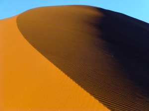
A sand sea or erg is defined as an expanse of land covered with 125 square km. The Namib Sand Sea is the second largest in the world. It covers nearly 80 thousand square kilometers (nearly the size of Austria or South Carolina). From the mountains to the dunes to the ocean, it is home of some of the most inhospitable terrane I have ever encountered.
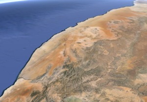 |
| Google Earth view of the Namib. The Orange river is in the lower left corner and the Kuiseb is the in the upper right. |
The Namib begins north of the Orange River, which drains over half of the Republic of South Africa. Sand that is carried into the lower portions of the river is blown northward by the southeasterly trade winds.
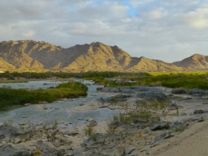 |
| The Orange River |
Where the sand supply is starved, barchan dunes often with an elongated east leg are most prevalent. The elongated eastern leg is likely due to the offshore breeze blowing in from the ocean. As the sand supply increases these eastern legs increase in size and become relatively small linear dunes.
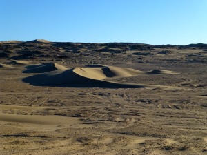 |
| Barchan dune in the Namib |
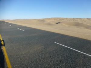 |
| The roads are constantly being covered with sand and are cleaned continuously. |
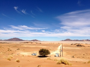 |
| Looking southward across the Koichab Pan |
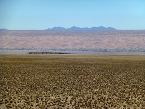 |
| Desert mirage at the southern end of the erg |
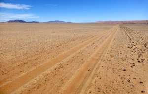 |
| Hundreds of kilometers of nothing |
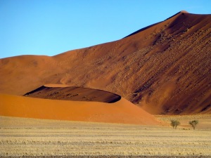 |
| To put all of this in perspective the trees on the right are 10 meters tall. The highest dunes in the Namib can reach over 300 meters above the valley floor. |
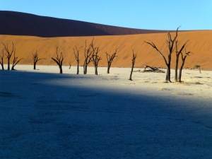 |
| Dead acacia trees in an interdunal pan |
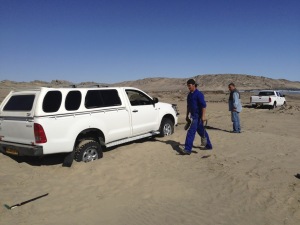 |
| The joys of working in the desert |
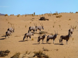 |
| Herd of Oryx |
![]() This work is licensed under a Creative Commons Attribution-NonCommercial-ShareAlike 4.0 International License.
This work is licensed under a Creative Commons Attribution-NonCommercial-ShareAlike 4.0 International License.

